|
|
FAQ |
|
|


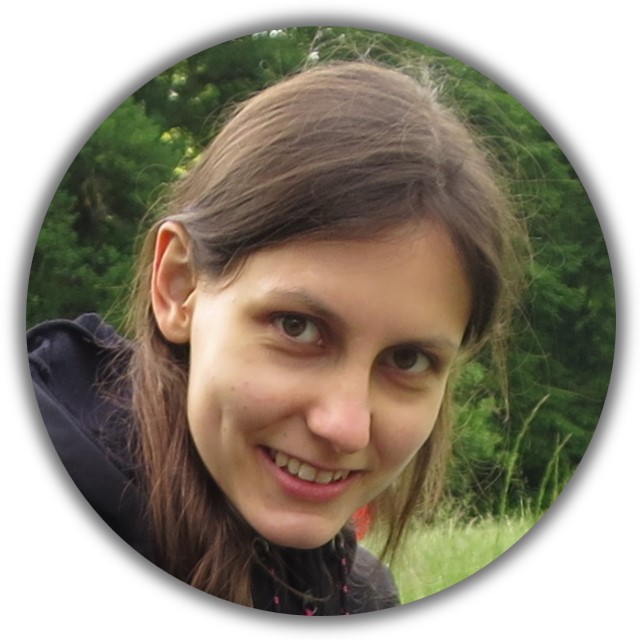 Belinda
Looking at this trip, it may sound surprising that I didn’t have anything to do with adventure travel or even set foot outside Europe until I was in my 20s. Before every school trip, I was even almost panicky. But let’s start from the beginning. I was born in Baden-Baden, on the edge of the Black Forest, in 1995. With my Family I always went hiking in the Alps on summer vacation. I wasn’t much into cycling either until I cycled to university every day during my studies in Karlsruhe. I studied Physics, because I have an incredible curiosity to understand how the universe (and everything in it) works. And studying physics helped a bit for that ;-). I got to know Tizian during my studies and he slowly but surely introduced me to (more adventurous) travel and eventually to cycle touring. The combination of independence, flexibility, vicinity to nature and local culture, sustainability as well as costs convinced my curious, leisurely and stingy humble self of bicycle touring over other kinds of travelling. Me being quite a fan of minimalism is certainly no disadvantage for bike touring either. Finally, when coming close to completing our studies we planned to go on a big (bike) trip afterwards. However, the coronavirus pandemic threw a spanner in the works. And so I first looked for a job that I enjoyed and thus worked as a software engineer. Until we finally started our tour in 2022, two years late.
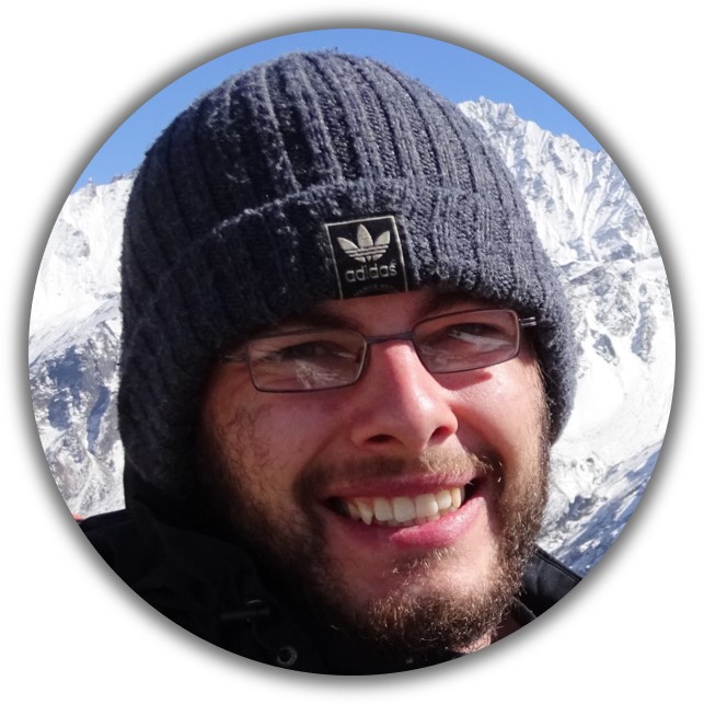 Tizian
I was born in 1994 in the very southwest of Germany. Being the fastest means of transportation available for a child, the bicycle has always been my first choice when I wanted to get from A to B on my own. When Felix Göpel gave a talk about his bicycle trip from Berlin to South Korea at my school in 2009, this was my first contact with long-distance bicycle touring and I was spellbound not only by the talk but then also by his book ‘Mit dem Fahrrad zur WM’. The thought that I would not forgive myself at the end of my life, if I had not gone on a multimonth bicycle trip myself someday, goes back to this time. In 2011 I went on my first real bicycle tour together with my friend Philipp, which took us from Southwest Germany to Venice. After graduating from school (‘Abitur’) in 2013 I resumed this tour and rode from Venice to Istanbul together with Fabian – my longest tour so far. An advantage of my subsequent study of physics was that there were – compared to other subjects – rather few exams during the holidays, which allowed me to undertake several more bicycle tours during which I covered a total of over 14 000 kilometers (for more details on my former tour see my homepage ). During the time I enrolled for my masters degree in physics, I got to know Belinda and the dream of going on a long bicycle tour together arose and became more and more concrete very quickly. The Corona epidemics forced us not to start after our university graduation right away, but to wait for another two years. During this time I worked at a bus subsidiary of Deutsche Bahn as a transport planner, we saved the money and pottered on our plans and dreams. Now, in 2022, the time has finally come to dive into our new life.
About Central Asia 2022
In the following articles, we describe how the project ‘Central Asia 2022’ came about and what it is about:

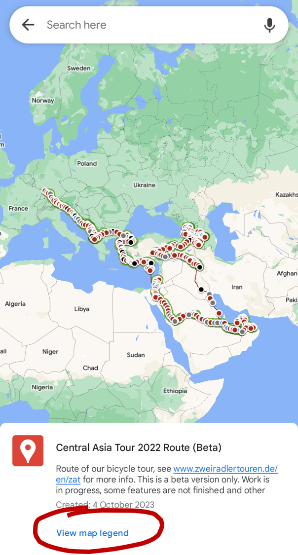
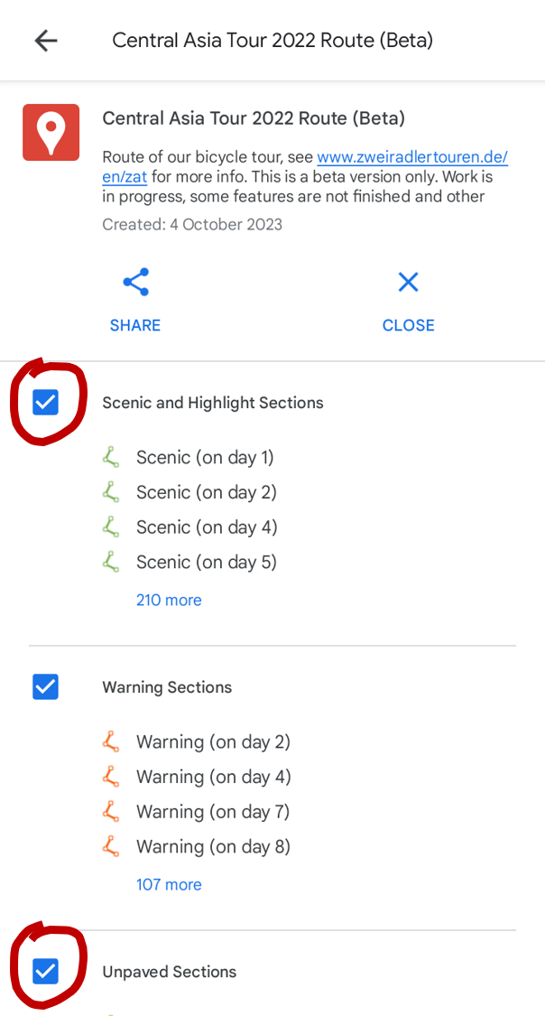
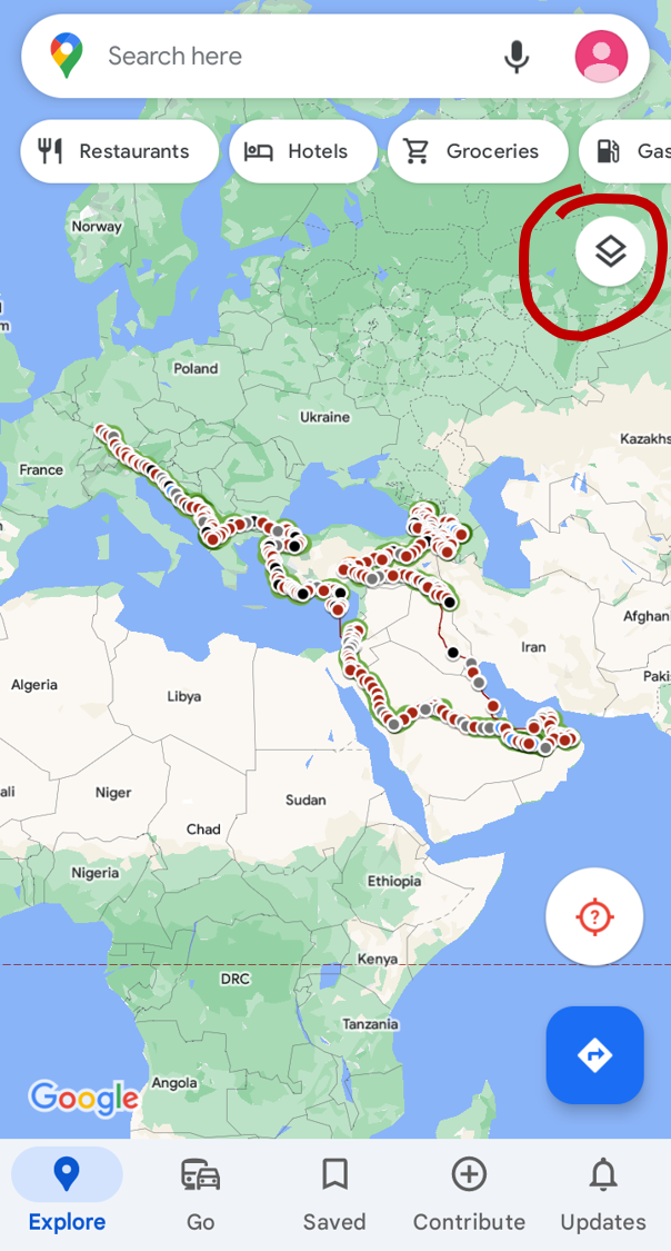
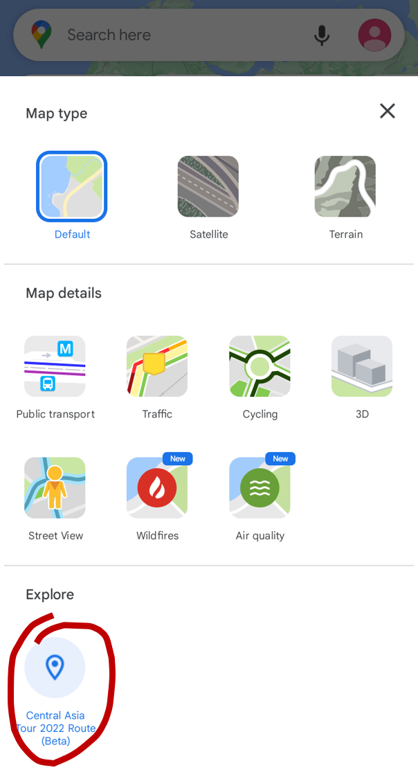
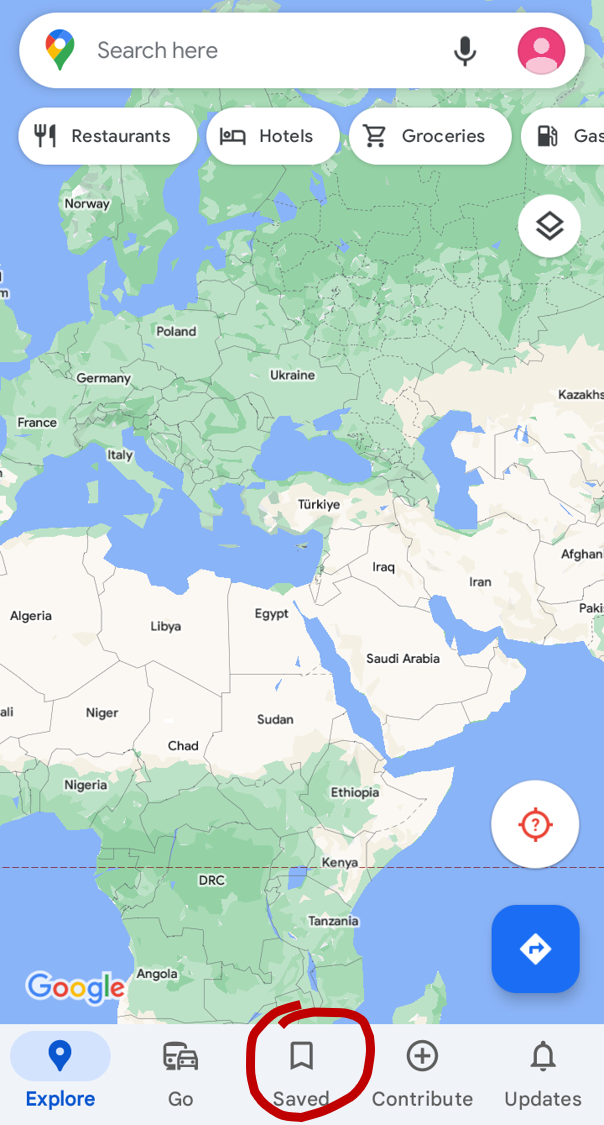
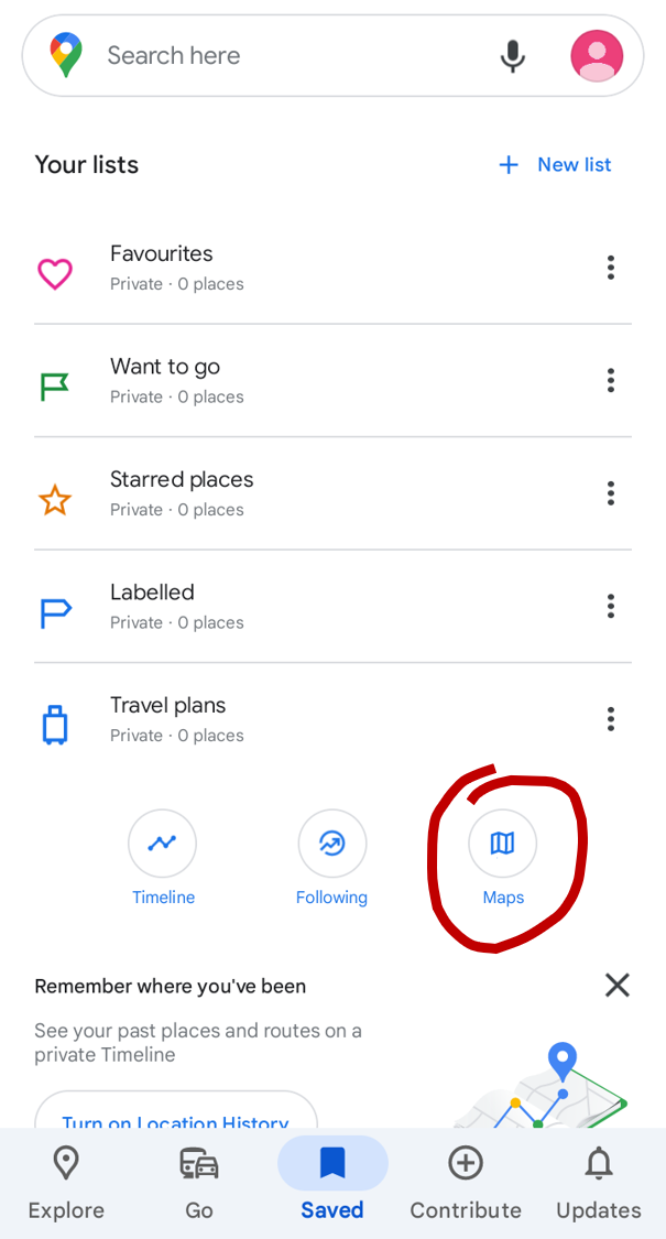
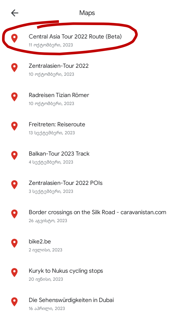
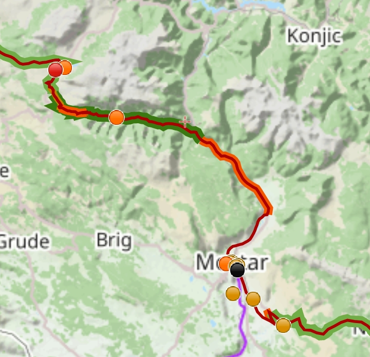
Yes, we have created a Google Map with our precise route (taken from our GPS tracks) and we have marked scenic/highlight sections, unpaved sections as well as sections for which we thought a warning would be appropriate. We also added locations and descriptions of our camping spots to this map.
You can find this Google Map here:
Central Asia Tour Route
For the Balkans we also have published a Best of Balkans blog article, which also includes highlights from our former trips to the Balkans.
Note that we also have a sophisticated altitude diagram on our statistics page, which might also help to plan your route.
And in case you speak German, we also publish a podcast (Zentralasien-Tour Podcast), where we talk about our trip and the cycling conditions as well as explaining some (historical) background to certain sights along the way.
⚠ If you encounter any problem please read the few lines of help we provide at the very bottom of this section. And of course, you may also contact us and we will be happy to help!
You can also download the data as GPX files:
* We provide two versions for the route only gpx file:
Route
| Cycling Route. Route that we covered by bicycle under full luggage. Approximately one track point every 40–50 m. Click on the route to get statistics of that tour day. | |
| Non-Cycling Route. Route that we covered under full luggage, but NOT by bicycle. That is, we hitchhiked these sections or we took a ferry, train, plane, bus or taxi. Click on the route, to see which mode of transportation we took. | |
| Side trips. Route of hiking trips, cycling trips without (full) luggage or similar. Click on the side trip route for details. Side trip routes will never have any of the route section marks below, even if they applied (e.g. a side trip route will never be marked as unpaved but still might be unpaved). Only a selection of our side trips are included in the map. |
Route Sections
| Unpaved Sections. That is gravel, sand, dirt, mud, earth road. Only unpaved section of 1 km or longer are marked. | |
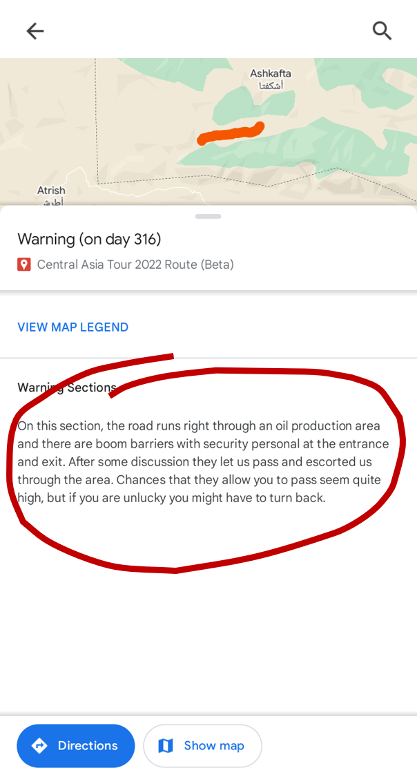
| Warning Sections. Sections that deserve a warning; the specific warning text can be read in the description of the warning section element. We usually issue a warning for sections that we were not able to ride (but had to push or carry the bicycle instead or turn back). We also issue warnings if the road is much worse than expected due to extremely bad asphalt or heavy traffic on smaller roads. Sometimes, there are also warnings for special cases that do not fit into these categories. Note that a section with a warning does not necessarily mean that we do not recommend to ride this section! More often than not, the most scenic sections are also the most difficult ones and therefore are marked both as ‘scenic’ and with a ‘warning’. Unfortunately, it is a little hard on the Google Map to hit the warning section with the mouse to read the warning text. You can either hide all other map levels (see help below) or use the GPX files with an app that handles stacked elements better. | |
| Scenic Sections. Sections that we enjoyed and if it is one of your route options anyway, it would be no bad choice for sure (but no guarantee that possible alternative parallel routes are not even nicer!). For the criteria, see below. | |
| Highlight Sections. Sections that we can highly recommend and that are also worth a detour. Quite likely, possible alternative parallel routes are not as nice as this one. For the criteria, see below. | |
| Of course, combinations of unpaved, warning and scenic/highlight sections are possible (a section cannot be scenic and a highlight, though). |
Overnight Stay Locations
| Camping. Sometimes on a payed campsite, but most of the time wild camping. If you click on the marker, you can read a description of the spot. | |
| Private invitations. Being invited spontaneously from the road or through Warmshowers. Usually, the map markers of this category are not put at the precise locations to not violate the privacy of our hosts. | |
| Other. Guesthouses, hotels, hostels, night trains or ferries etc. Usually paid accommodation. Most of them have descriptions. |
Sights and other Information
| Information. Useful information about where to buy tickets for a certain national park or where to find water in very remote areas. These points are rather rare on our map, as we put them only in special situations. | |
| ⚠ By default, the POI/sight points and lines are hidden on the Google Map. To see them, you need to unhide the map layers (= ‘element groups’) that contain these points. Check out the screenshots at Help for Using the Google Maps App below. | |
| POIs/Sights. Sights and POIs along the route. They all have a short description. We did not visit all of them ourselves. There is no claim to completeness. | |
| Superordinate POIs/Sights. Sometimes, things like cities or national parks may have one POI with general information of the city/national park and several POIs for specific locations/sights within that very city/national park. In that case, the general information POI will have this orange color instead of yellow. | |
| Linear POIs/Sights We have added geografically extended sights (like the Great Wall of China or the Hejaz Railway) not as a point but as a line/track. | |
Coordinates in China
Note that in China, Google Maps uses the GCJ-02 coordinate system for its street maps, whereas WGS-84 is used for the rest of the world. However, for the satellite images, Google Maps uses WGS-84 also for China, such that the road map data is shifted from the underlying satellite image by a couple of hundred meters (however, if you enter Google Maps via google.cn/maps also the satellite images will be in GCJ-02). For more information see the Wikipedia articles here and here.
Because we use WGS-84 for all our data (all routes and points), in China they are not on the correct position when watching them on Google Maps in the normal street map mode, but they are correct in satellite mode and on all maps/apps using OpenStreetMap data.
Criteria for Scenic and Highlight Sections
To judge a section as scenic or highlight, we DO take the following criteria into account:
To judge a section as scenic or highlight, we DO NOT take the following criteria into account:
Help for Using the Google Maps App
Help for using the GPX files
Note that many apps do not support all features of a GPX file, for example importing the correct track color or allowing for different track line widths (which is important to distinguish the marked sections from the route). Or, like for Komoot, it is not even possible to import more than one track at once – and given that the GPX files usually contain dozens of tracks (like one track per tour day or per unpaved section etc.), importing them one-by-one is a pain in the ass.
An (Android) app that supports all features is Locus Map (specifically Locus Map 4 Outdoor-Navigation or Locus Map 3 Classic). If you use this app, I highly recommend to use it together with the offline maps from OpenAndroMaps.org. I want to emphasize that I can recommend the Locus apps also in every other aspect! For me, it’s the gold standard map and navigation app!
If you import the GPX files into Locus and it doesn’t look like expected, check out the general application settings and select the ‘Points and Tracks’ settings there. Here you should select ‘No Symbol’ at ‘Track start/end icons’ and remove any pattern from the default ‘Line Style’. Then import again.

A comprehensive list of WhatsApp groups for bicycle travellers incl. their invitation links can be found here.


Support by Help, Hints, Feedback
Practical hints, feedback or other forms of help – such as an invitation for an overnight stay or a bug report for our website – can be a tremendous support. You are very welcome to contact us!
If you are already listening to our podcast, we also appreciate every rating wherever you can rate podcasts, such as directly in your podcast app or via Spotify or Apple Podcasts. And if you have not yet checked our podcast, give it a listen!
Support via Paypal
In addition to cycling, we invest a large part of our time, especially our rest days, in creating our podcast episodes, including research for FAQ and background sections, as well as in preparing our detailed route map as information and help for other travelers. We make everything available free of charge and free of advertising for anyone interested.
If you would like to leave us a small thank you for this, or simply want to treat us to something along the way that we might otherwise be too stingy to afford (a milkshake to cool off in between, a particularly delicious dinner, an extra day’s rest at the hotel, admission to a sight we would otherwise have skipped …), you can send us a small amount of pocket money via Paypal (paypal.me/zweiradlertouren). We are happy about every little thing that makes life on the bicycle a little sweeter, especially on strenuous days!
Support by Telling and Sharing
The initial idea behind this website and our podcast was primarily to keep our family and friend in the loop about our whereabouts. Then, the more time we put into creating the website and developing a podcast concept, the more we had a broader audience and listenership in mind and the more ambitious we became in pursuing the goal of developing the website and podcast into a really comprehensive and great project.
What goes hand in hand with this, however, is that it would now be even cooler if we could actually find a few people who we could welcome as visitors to our website and listeners to the podcast. And since we can’t build our project on an already existing broad community and we don’t have a media company with a marketing department behind our backs, we are dependent on your word-of-mouth.
Every website visitor, every podcast listener and even more every recommendation enables and motivates us not only to extend the tour and thus to run the website and podcast longer, but also to put more time into the content, to update it more often or to publish new episodes and reports more often as well as to constantly improve the quality in terms of technology and content.
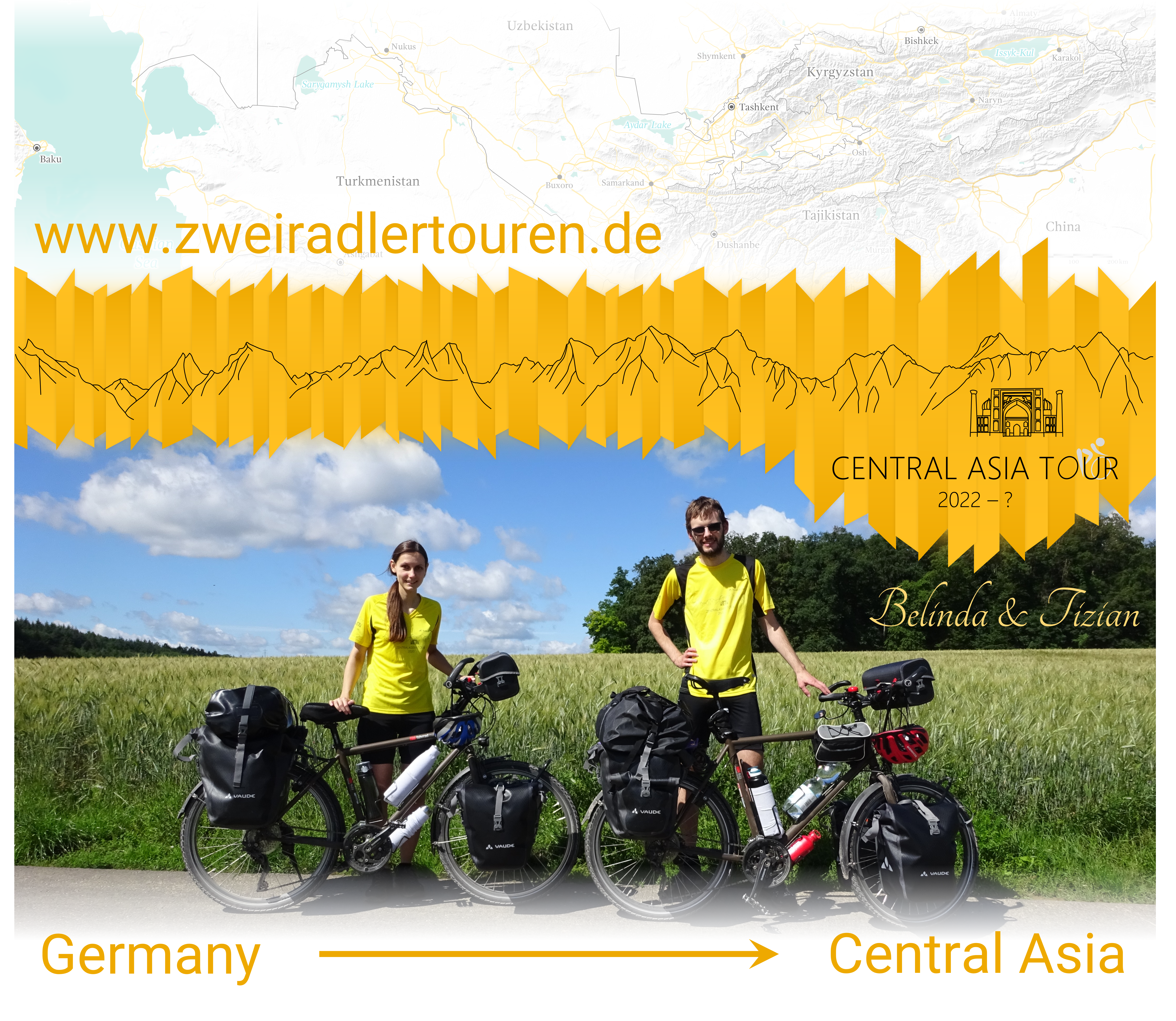
Therefore, the best, easiest and most lovely way to support us is to tell others about our tour, our podcast and our website. Maybe you know someone who might be interested? Just send them the link to our website! Or you can link our website on your homepage or post a link on social media. We have put together the following banners, logos and other graphics that you are welcome to use for this purpose!
The German versions of these graphics can be found here.
(for download click right and then “Save target as…”)
About the license:
Like all content on this website, these graphics are licenced under CC BY-NC-SA (see also the Legal Notices). It is explicitly allowed and desired to publish the above graphics in connection with our tour (e. g. together with a link to our website)!

We are looking forward to receive any kind of feedback, questions or other messages. Feel free to contact us
 ,, or our Facebook page.
While we are on tour it may well happen that we are without internet access for a couple of days in a row; thus it may take some time for us to react to your messages.

Our podcast episodes often feature an FAQ part (in German, though), which is dedicated to a different topic in each episode. Here you find an overview over all topics covered by the FAQ parts of our podcast. The detailed questions that are answered in these episodes can be found on our German FAQ page.
Except for our podcast episodes (that are only in German unfortunately) we also covered some FAQ topics in dedicated articles (also in english) on our website, such as for example regarding experiences and tips for specific countries. Here is a list of links to those articles as well as their detailed topics:

On the German FAQ page, we usually publish a list of questions we plan to answer in the FAQ part of one of our next podcast episodes. If you have further questions, you are of course welcome to ask us directly; here you can find how to contact us.
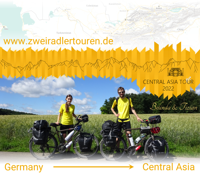
Zweiradler Tours: Central Asia Tour
Belinda
Tizian


all Zweiradler Tours • About Us • Support • Contact • Legal Notices
For the licensing of the content of this website and the privacy policy see the legal notices. © 2022 Belinda Benz & Tizian Römer.


 PNG
PNG