|
|
Statistics |
|
|
|

Statistical data will be published as soon as we have a sufficient internet connection after the first riding day for the first time.
| Last update of the statistics page: | |
| 29.10.2023 18:37:19 |  Heimreise Kücknitz–Karlsruhe Local Time (UTC+04:00) Heimreise Kücknitz–Karlsruhe Local Time (UTC+04:00)
|
| 29.10.2023 15:37:19 | Central European Time |

Tour Duration
| Riding Days: | 16 |
| Rest Days: | 1 |
| Other Days: | 6 |

Distance
| Total: | 1020.37 km |
| Ø per Riding Day: | 63.77 km |
| Ø full Riding Days only: | 67.47 km |

Riding Time
| Total: | 82:35 |
| Ø per Riding Day: | 5:10 |

Wheel Revolutions
498 227

Countries
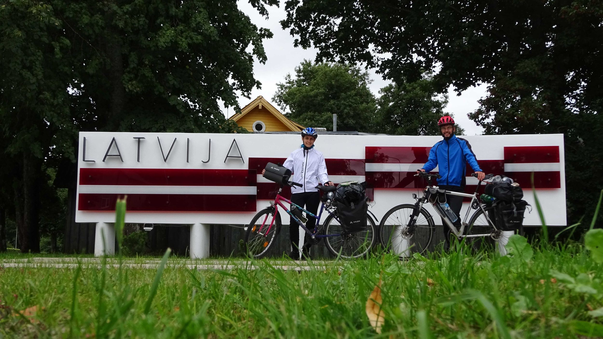
| Visited Countries: | 3 |
| Used Currencies: | 0 |

Flat Tires
| Patched: | 0 |
| Tube Changed: | 0 |

Images/Videos
| Total: | 1148 |
| on Website: | 183 |

Number of Showers
| in Shower: | 0 |
| Improvised: | 0 |

Laundry
| with Washing Machine: | 0 |
| Manually: | 0 |

Hairdresser
| Professional: | 0 |
| Improvised: | 0 |

Use of Stove
0
| Altitude Diagram | back to top |


In the Altitude Diagram, the altitude above sea level (y axis) is plotted against the distance traveled by bicycle (x axis). Furthermore, the following information can be inferred from the diagram:
Road Surface
 | paved: Route sections with mainly paved roads (asphalted, concreted, cobbled etc.) are drawn in a brighter gold hue. |
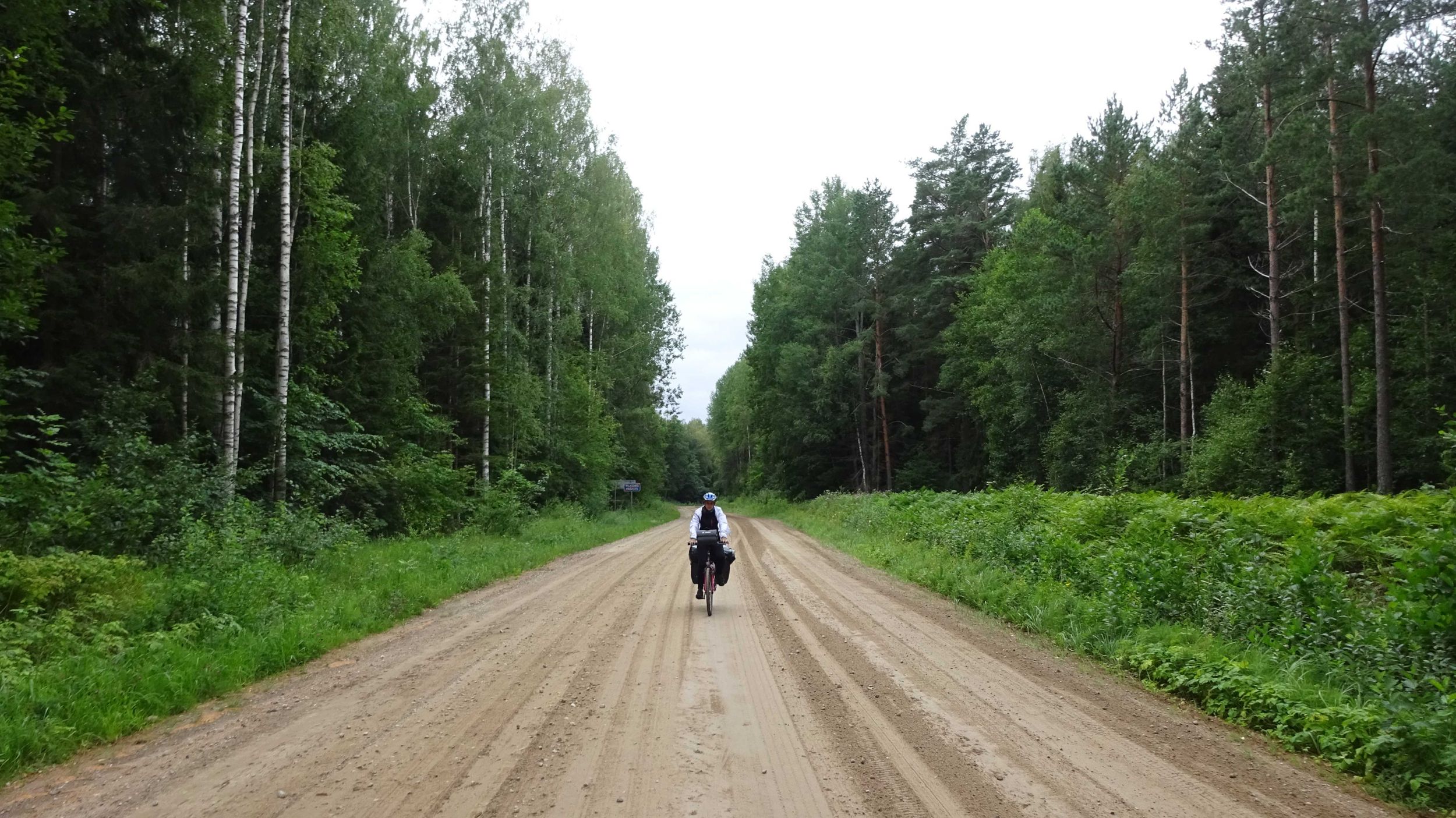
 | unpaved: Route sections with mainly unpaved roads (gravel, sand etc.) are drawn in a dark gold hue (some may call it brown ;-)). |
 | alternating: Route sections with frequently alternating paved and unpaved sections are drawn with a dashed line. The ratio of the length of dark and bright dashes corresponds to the approximate/estimated ratio of unpaved and paved roads in this route section. In the example given on the left, a route section with 60 % paved (bright) and 40 % unpaved roads (dark) is shown. |
Points of Interest and Other Relevant Places
 | Places of Overnight Stays/Day No.: Vertical golden lines mark the places of our overnight stays. Thus, each section between two golden lines corresponds to one riding day. If we stayed more than one night at the same place, a double line is plotted. The specified day number corresponds to the consequtive number of all days with day 1 corresponding to the start of the tour. |
 | Towns/Cities: Significant cities, towns or other localities which we came across by bicycle are plotted in a dark gray or black font. Capitals are marked by the use of a bold font. |
 | Waterbodies: Waterbodies (rivers, lakes, seas) are drawn in blue. If we crossed the waterbody or rode alongside it over a short distance, its name is written vertically close to the altitude line (like the cities). If we rode alongside a waterbody over a long distance, the corresponding route section is marked with a blue wave line together with the name of the waterbody below the diagram. |
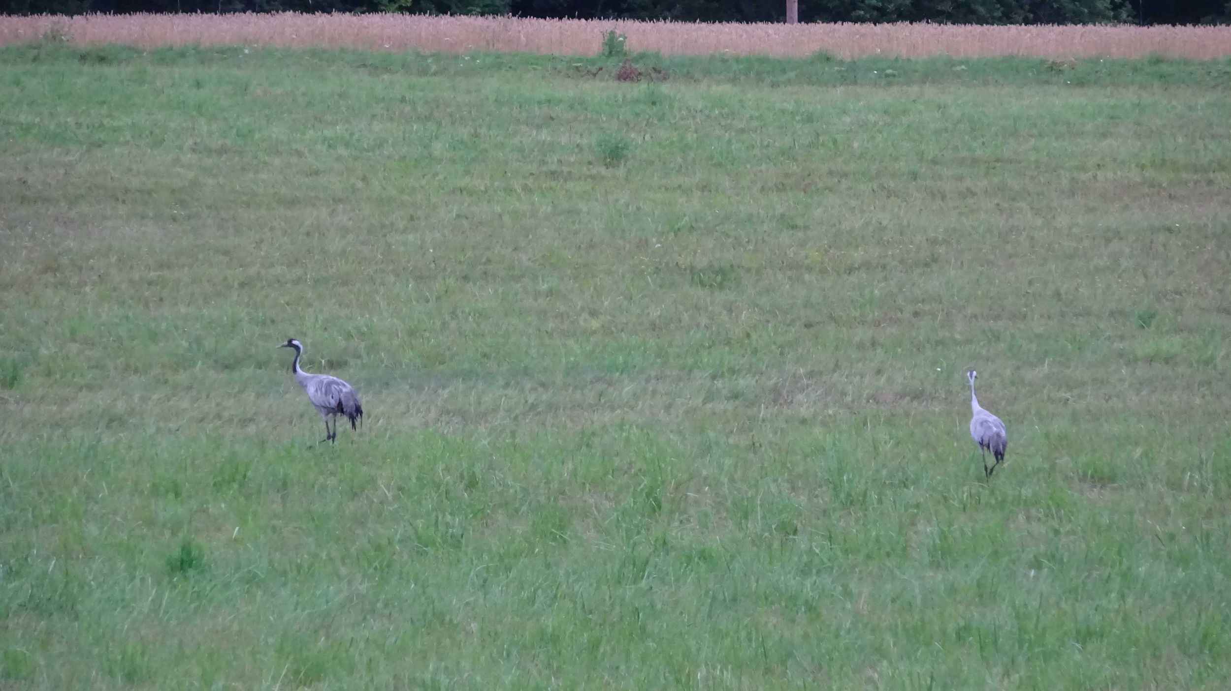
 | Points of Interest: Miscellaneous interesting places (sights, national parks, mountain passes etc.) are plotted in green. If such points of interest extend over a significant section of the route (e. g. in the case of national parks), the corresponding route section will be equipped with a green line below the diagram. |
 | State Borders: The position of state borders is marked with a gray dashed line as well as with the flags of the contiguous states. If we rode alongside a state border over a long distance, the corresponding route section is marked with a gray dotted line together with the flag of the country on the other side of the border. |
Sonstige Symbole
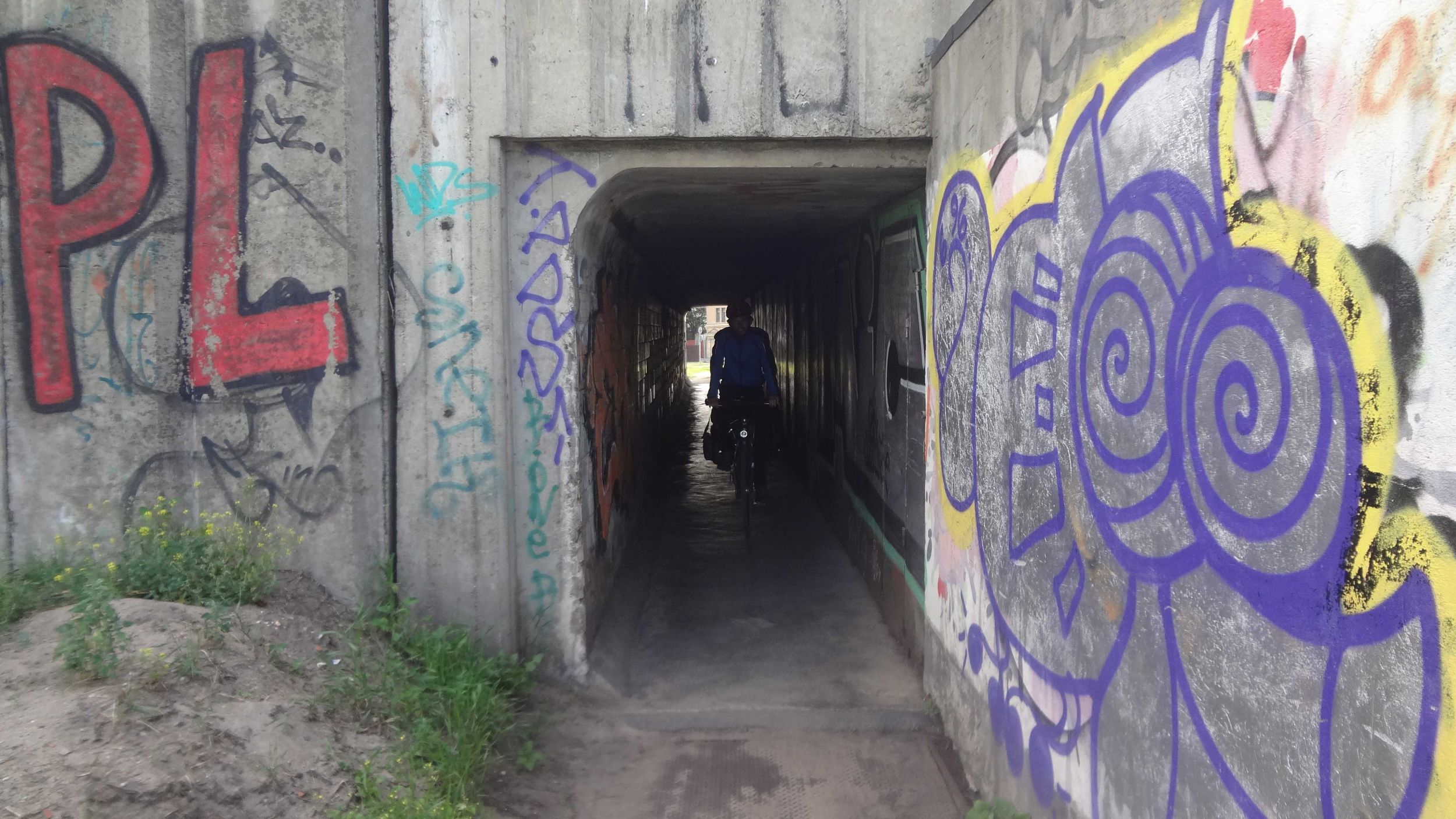
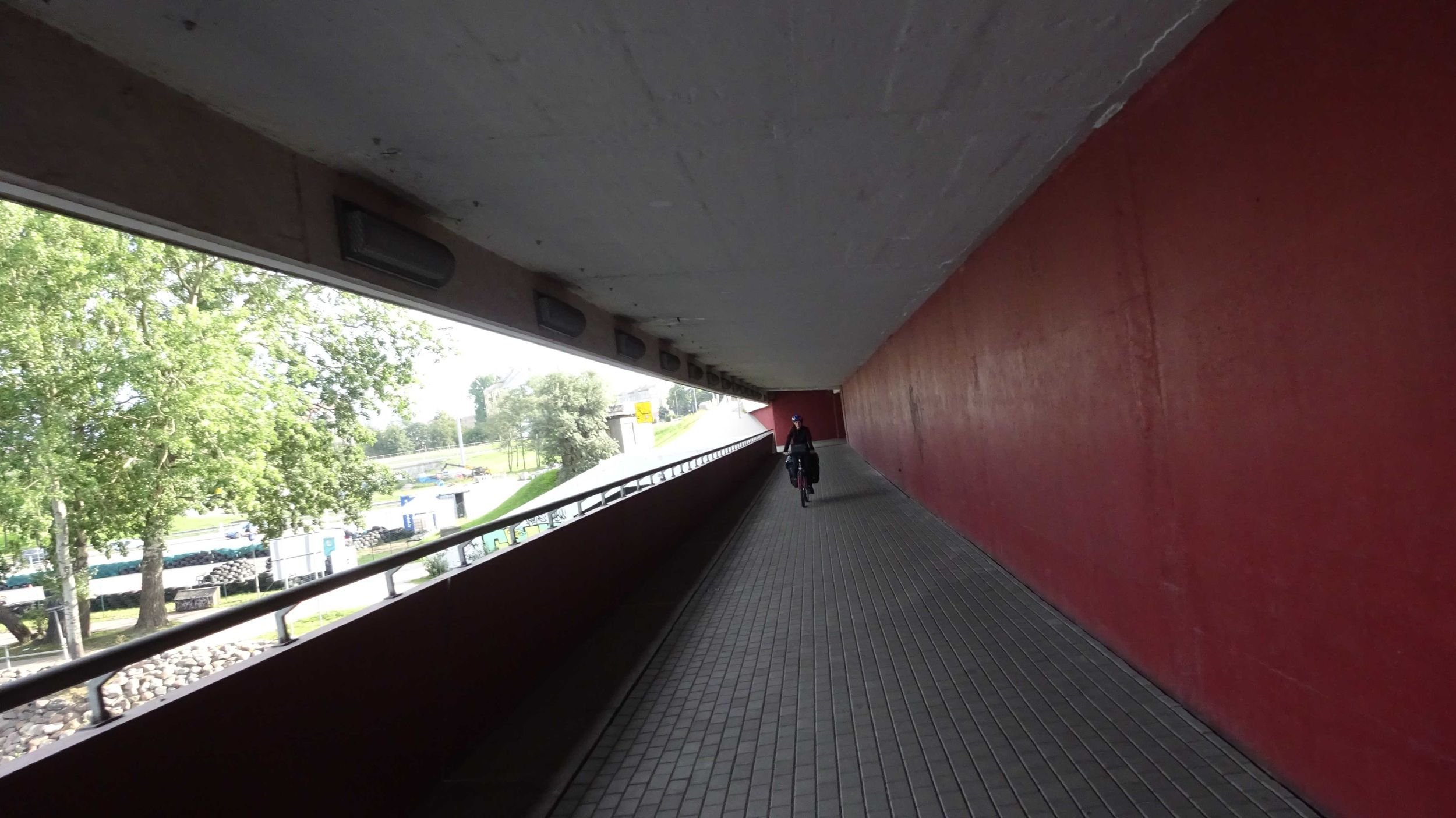
Ferry rides, significant tunnels and bridges (usually if there are at least a few kilometers long) as well as places where we had a flat tire, are marked with the following symbols, respectively:


Details about our Altitude Data
We export the data that underlies the Altitude Diagram from our navigation app Locus Map Pro . The route is tracked with GPS; the altitude data is read out of the offline map that we take from OpenAndroMaps (this altitude data is taken for example from SRTM data). Using a Python script that we wrote ourselves, we modify this raw data in the following way:

The ferry symbol was created by Google Inc. and it was taken from here . It is published under the licence CC BY 4.0
 .
.
The flat tire symbol was taken from Icons8. It is allowed to use it if a link to the Icon8 website is provided (see here).
| Overnight Stay Diagram | |||||||||||||||||||
 |
|||||||||||||||||||
| all days riding days only |
|||||||||||||||||||
|
|
||||||||||||||||||
| Country Statistics Table | back to top |
| Distance | Duration of Stay |
Riding Days | Rest Days | Unpaved Roads |
Distance | Riding Time |
Ø Speed | Altitude | Slope | ||||||||||||||||
| Min | Max | Ascent | Descent | > 2 % | < −2 % | ||||||||||||||||||||
| 1 |
|
Estonia | 295 km | 5.9 days | 4.0 days | 0.0 days | 42 % | Sum | 294.59 km | 22:19 | 667 m | 689 m | 7 km | 8 km | |||||||||||
| Mean | 73.90 km | 5:39 | 13.2 km/h | 19 m | 59 m | 177 m | 175 m | 2 km | 2 km | ||||||||||||||||
| full riding days | 73.90 km | 5:39 | 177 m | 175 m | 2 km | 2 km | |||||||||||||||||||
| Minimum | 59.85 km | 4:12 | 11.9 km/h | 5 m | 43 m | 112 m | 124 m | 1 km | 1 km | ||||||||||||||||
| Maximum | 90.96 km | 7:09 | 14.3 km/h | 32 m | 66 m | 288 m | 235 m | 5 km | 4 km | ||||||||||||||||
| 2 |
|
Latvia | 357 km | 7.4 days | 6.0 days | 1.0 days | 33 % | Sum | 356.51 km | 28:24 | 1106 m | 1105 m | 20 km | 22 km | |||||||||||
| Mean | 56.20 km | 4:36 | 12.6 km/h | 6 m | 51 m | 175 m | 177 m | 3 km | 4 km | ||||||||||||||||
| full riding days | 66.85 km | 5:29 | 213 m | 215 m | 4 km | 4 km | |||||||||||||||||||
| Minimum | 8.27 km | 0:33 | 10.3 km/h | -1 m | 6 m | 6 m | 7 m | 0 km | 0 km | ||||||||||||||||
| Maximum | 90.96 km | 7:09 | 14.9 km/h | 17 m | 95 m | 327 m | 375 m | 8 km | 11 km | ||||||||||||||||
| 3 |
|
Lithuania | 369 km | 5.8 days | 6.0 days | 0.0 days | 16 % | Sum | 369.27 km | 31:52 | 935 m | 968 m | 13 km | 16 km | |||||||||||
| Mean | 63.12 km | 5:19 | 11.6 km/h | 23 m | 88 m | 159 m | 167 m | 2 km | 3 km | ||||||||||||||||
| full riding days | 63.12 km | 5:19 | 159 m | 167 m | 2 km | 3 km | |||||||||||||||||||
| Minimum | 41.19 km | 3:35 | 10.3 km/h | -4 m | 21 m | 74 m | 63 m | 0 km | 0 km | ||||||||||||||||
| Maximum | 79.86 km | 6:38 | 13.9 km/h | 80 m | 189 m | 286 m | 334 m | 5 km | 6 km | ||||||||||||||||
| Distance | Duration of Stay |
Riding Days | Rest Days | Unpaved Roads |
Distance | Riding Time |
Ø Speed | Altitude | Slope | ||||||||||||||||
| Min | Max | Ascent | Descent | > 2 % | < −2 % | ||||||||||||||||||||
Main Data
Detailed Data
| Daily Statistics Table | back to top |
| Distance | Riding Time |
Departure | Arrival | Break Time |
Ø Speed | Unpaved Roads |
Altitude | Slope | |||||||||||||||||||||
| Min | Max | Ascent | Descent | > 2 % | < −2 % | ||||||||||||||||||||||||
| Sum | 1020.37 km | 82:35 | 62:55 | 2713 m | 2764 m | 40 km | 45 km | ||||||||||||||||||||||
| Mean | 63.77 km | 5:10 | 09:17 | 18:23 | 3:56 | (43 %) | 12.4 km/h | 29 % | 16 m | 67 m | 170 m | 173 m | 2 km | 3 km | |||||||||||||||
| full riding days | 67.47 km | 5:28 | 09:09 | 18:44 | 4:07 | 180 m | 184 m | 3 km | 3 km | ||||||||||||||||||||
| Minimum | 8.27 km | 0:33 | 07:41 | 13:05 | 1:07 | (27 %) | 10.3 km/h | 0 % | -4 m | 6 m | 6 m | 7 m | 0 km | 0 km | |||||||||||||||
| Maximum | 90.96 km | 7:09 | 11:25 | 20:54 | 8:45 | (71 %) | 14.9 km/h | 92 % | 80 m | 189 m | 327 m | 375 m | 8 km | 11 km | |||||||||||||||
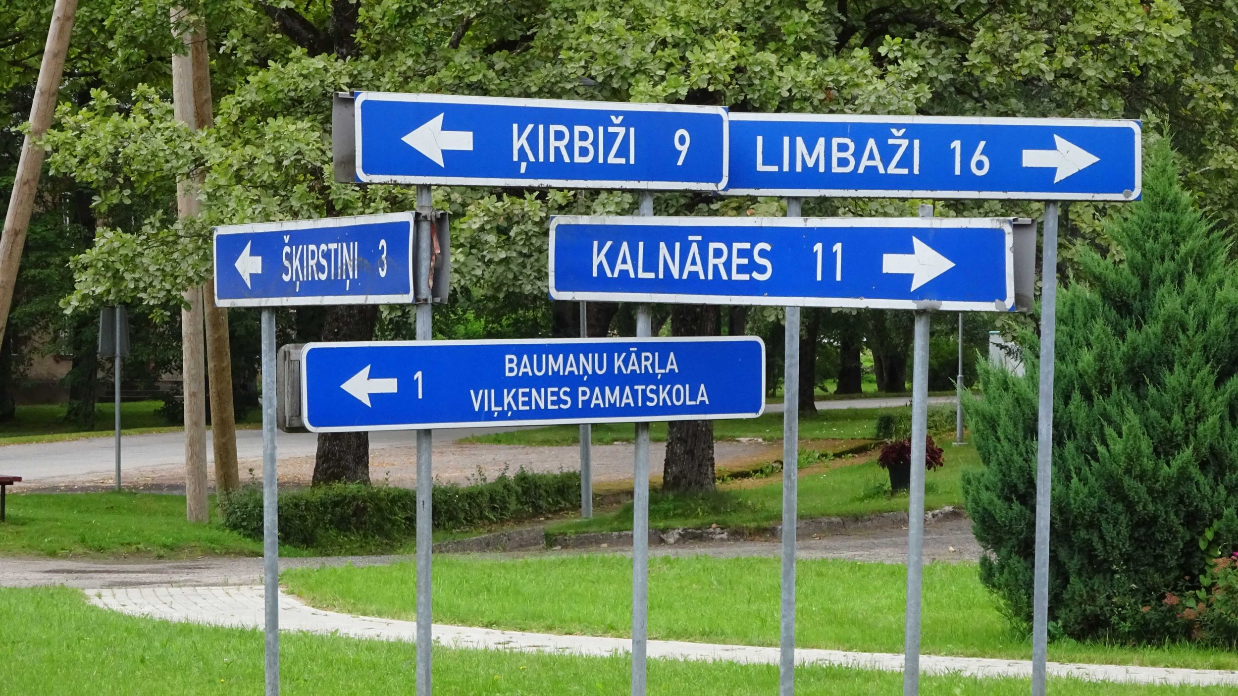
| Day | date | Country | Place of Departure | Place of Arrival | Distance | Riding Time |
Departure | Arrival | Break Time |
Ø Speed | Unpaved Roads |
Altitude | Slope | Weather | Reports/ Map/Images |
||||||||||||||
| Min | Max | Ascent | Descent | > 2 % | < −2 % | ||||||||||||||||||||||||
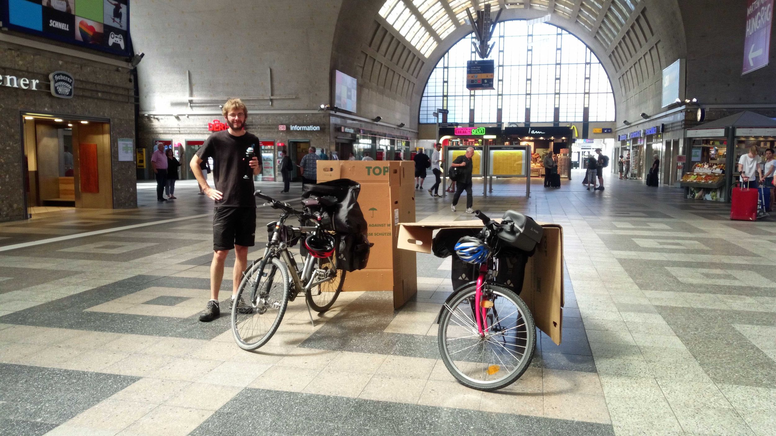
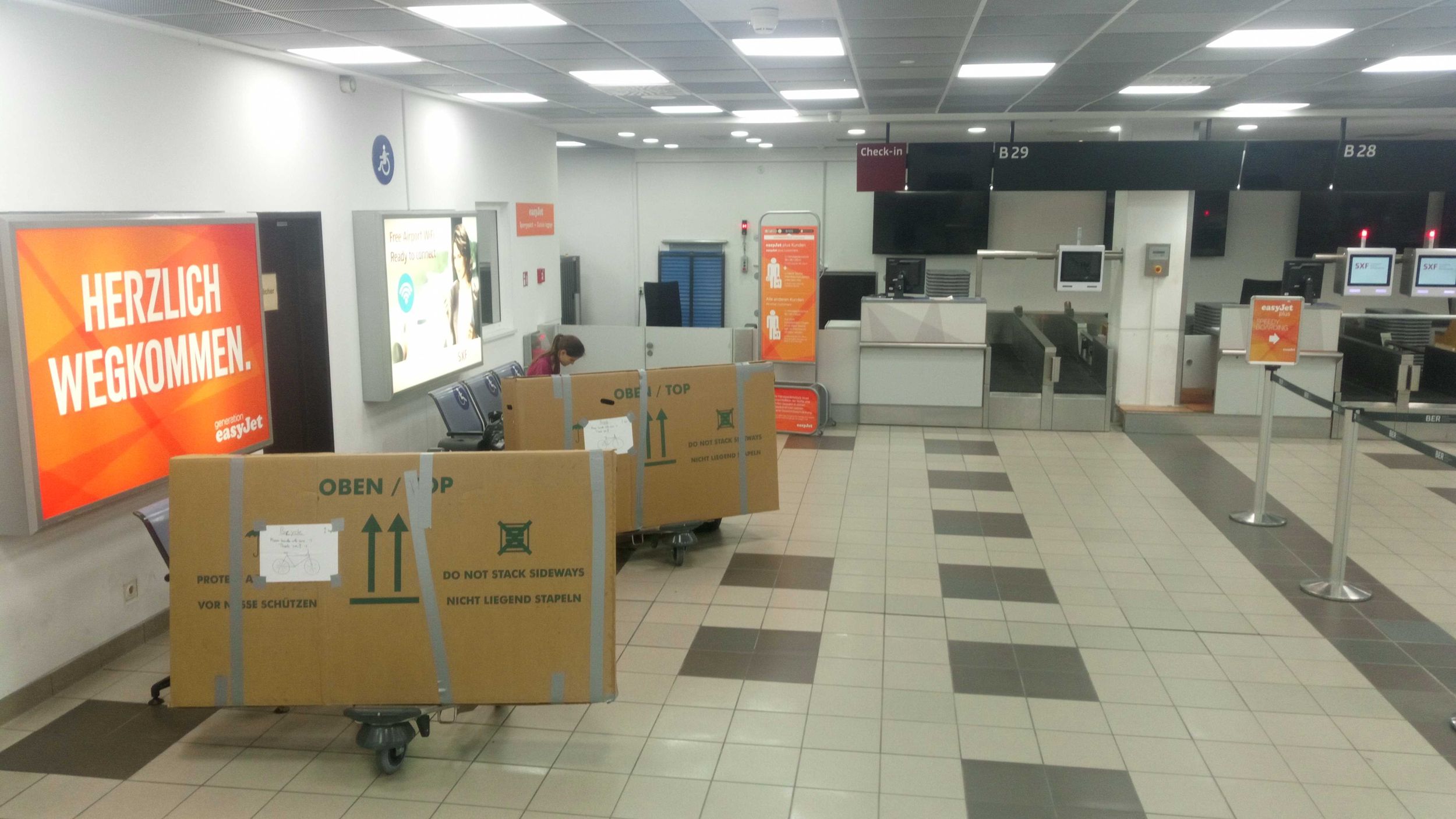
| 1 | Wed, 24.07.19 |
|
Anreise Karlsruhe–Berlin Schönefeld | 
|

|

|
|||||||||||||||||||||||
| 2 | Thu, 25.07.19 | 
|
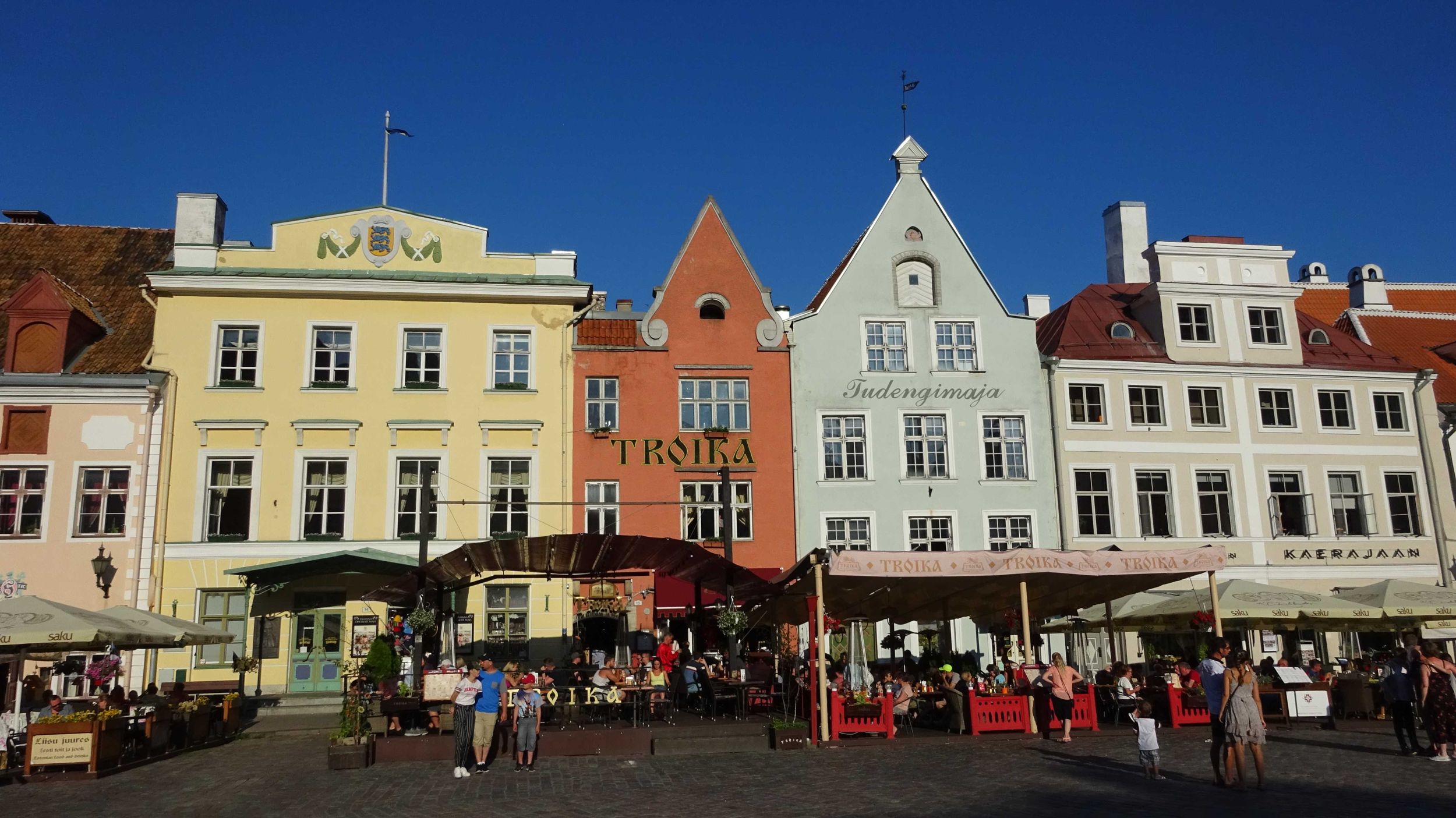
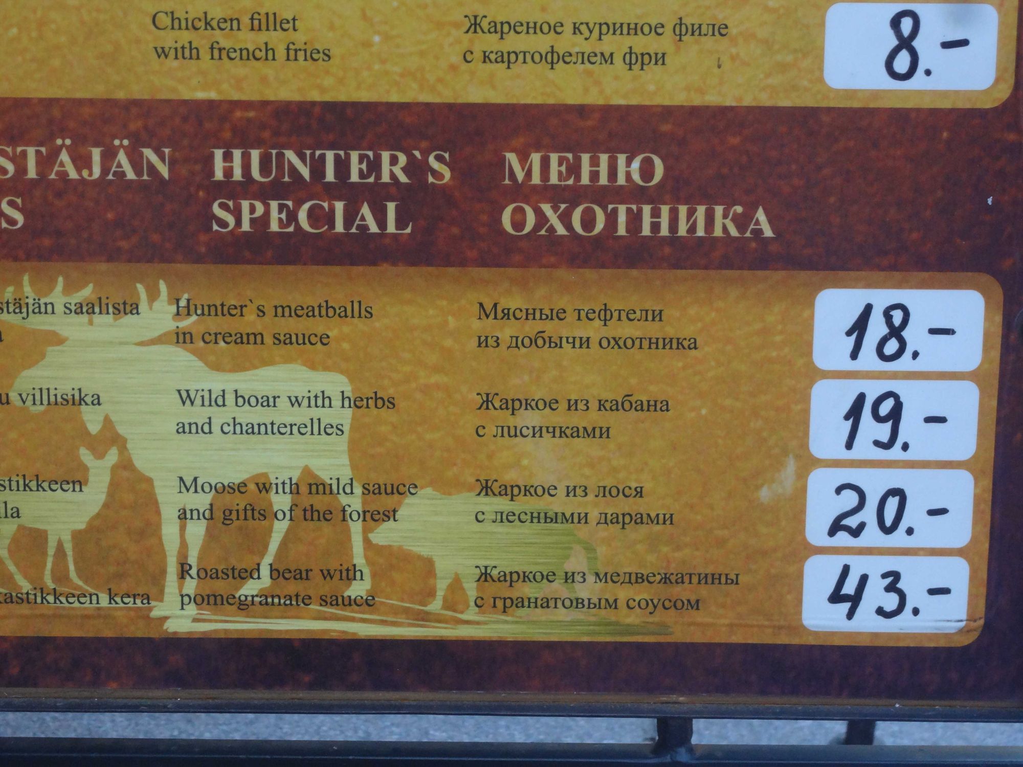
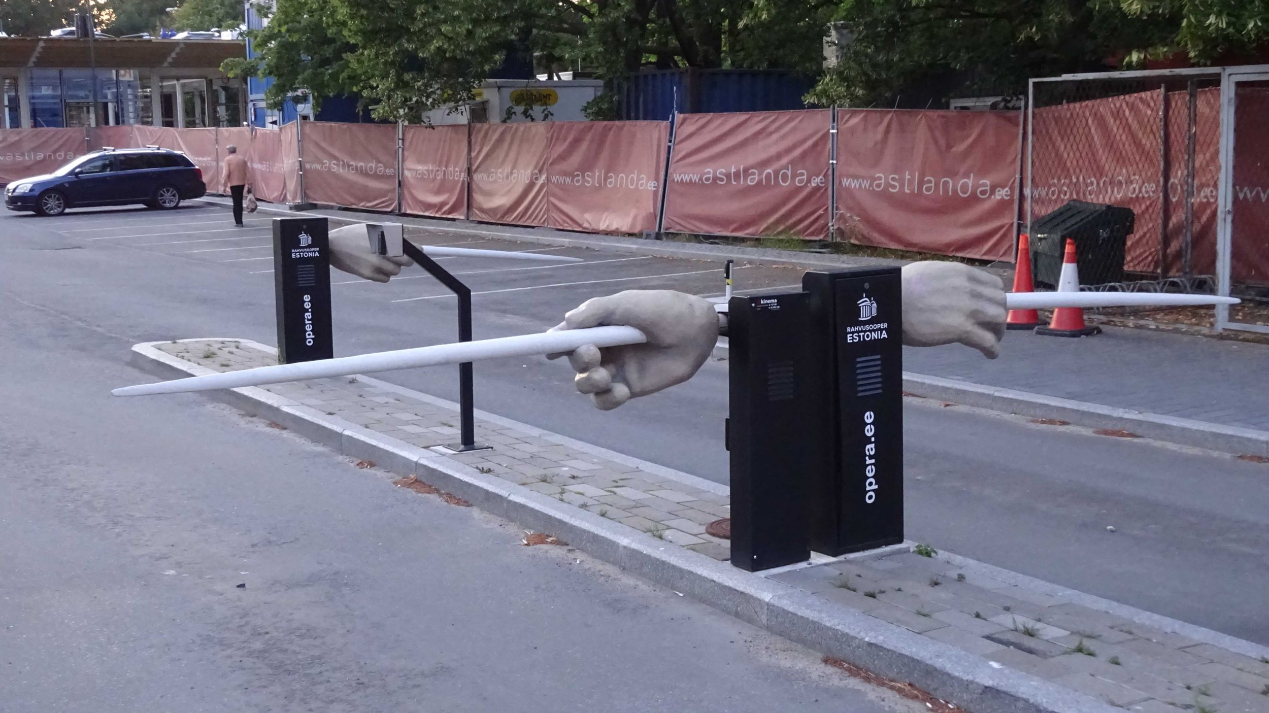
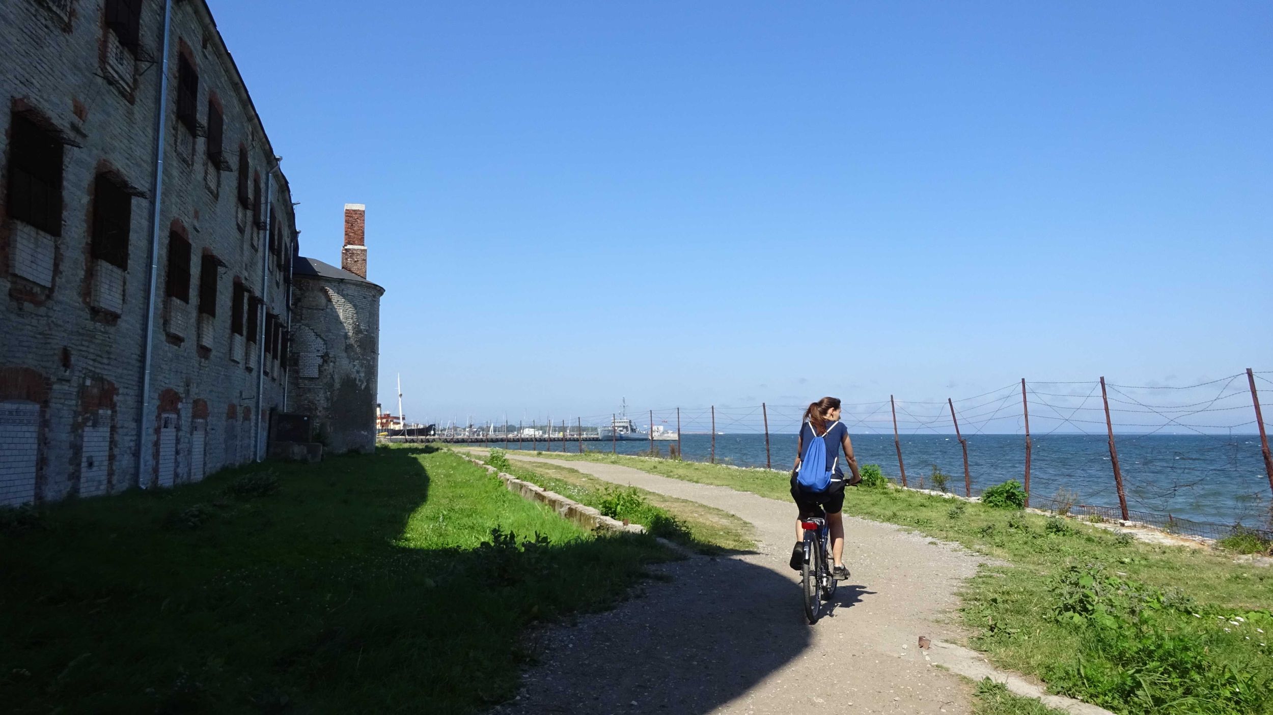
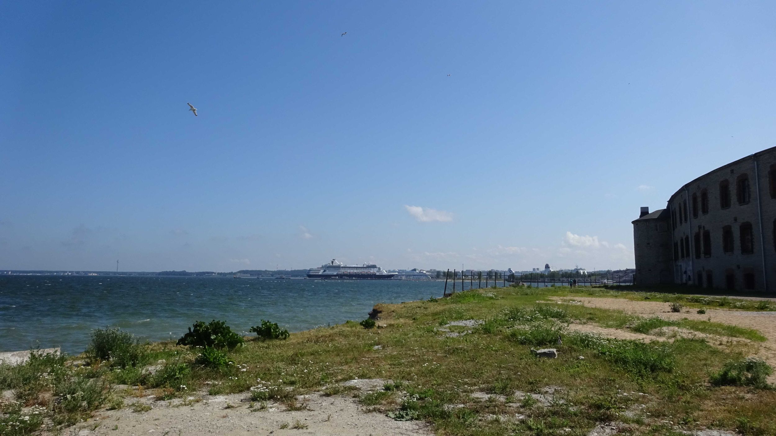
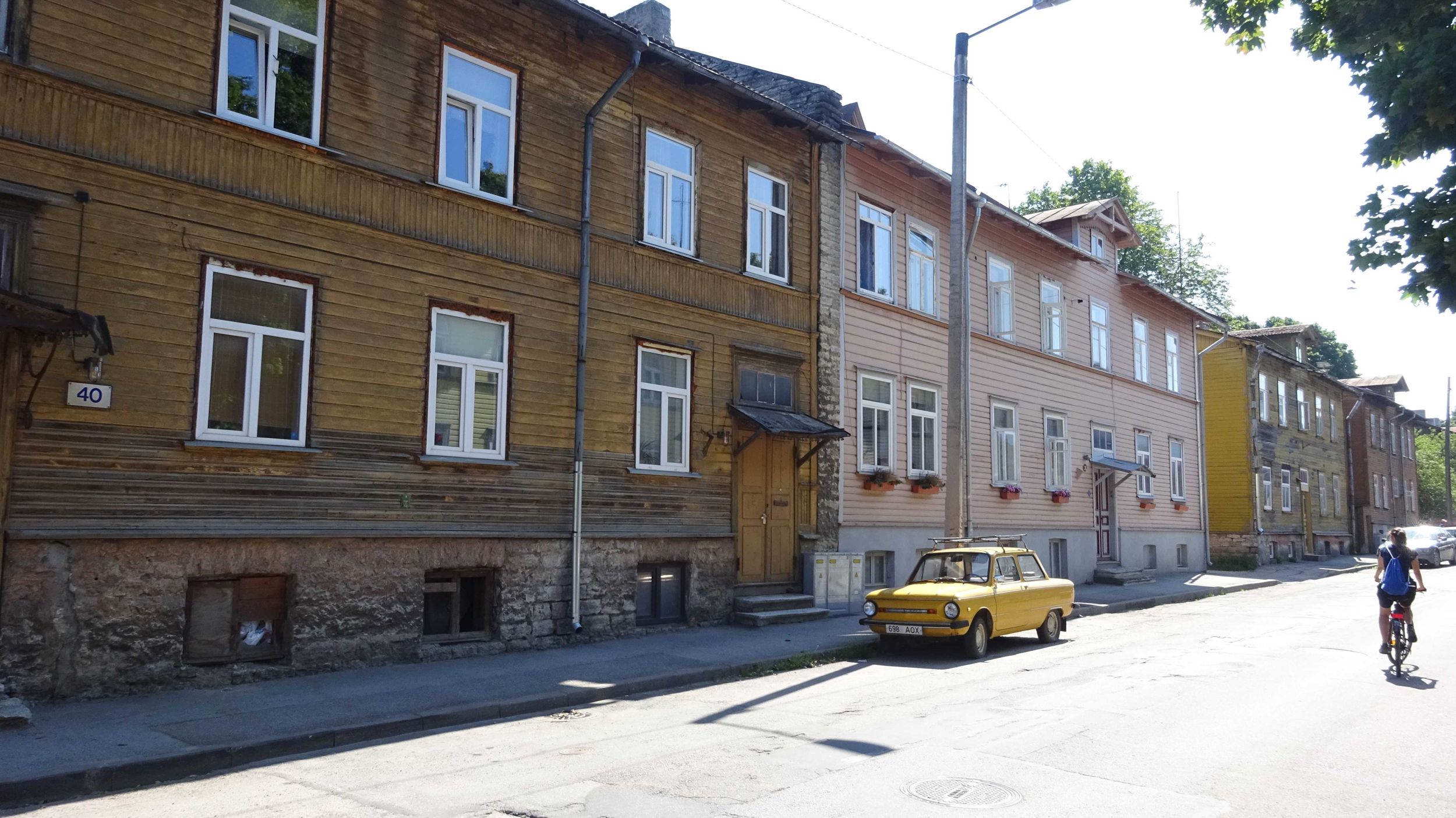
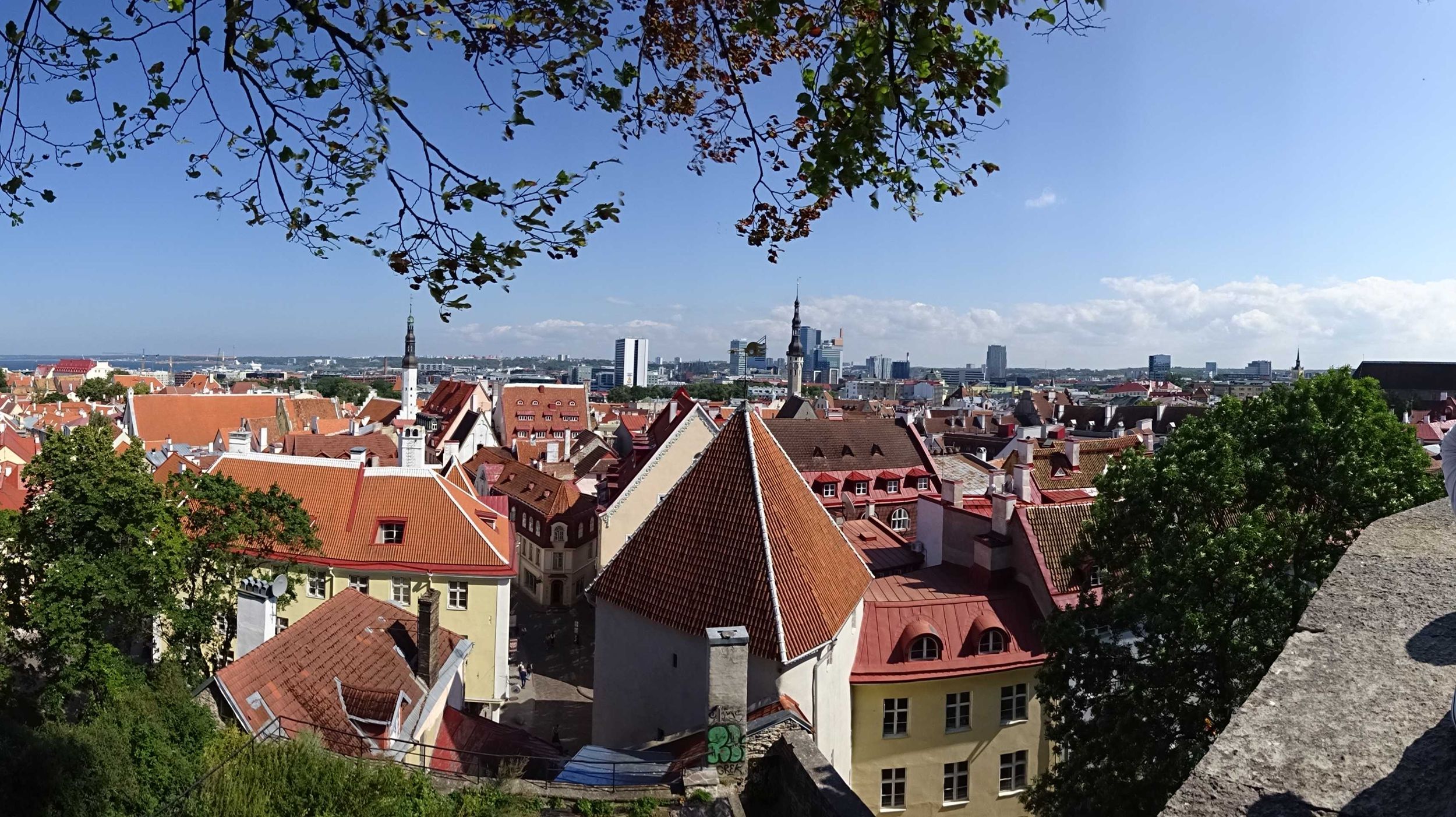
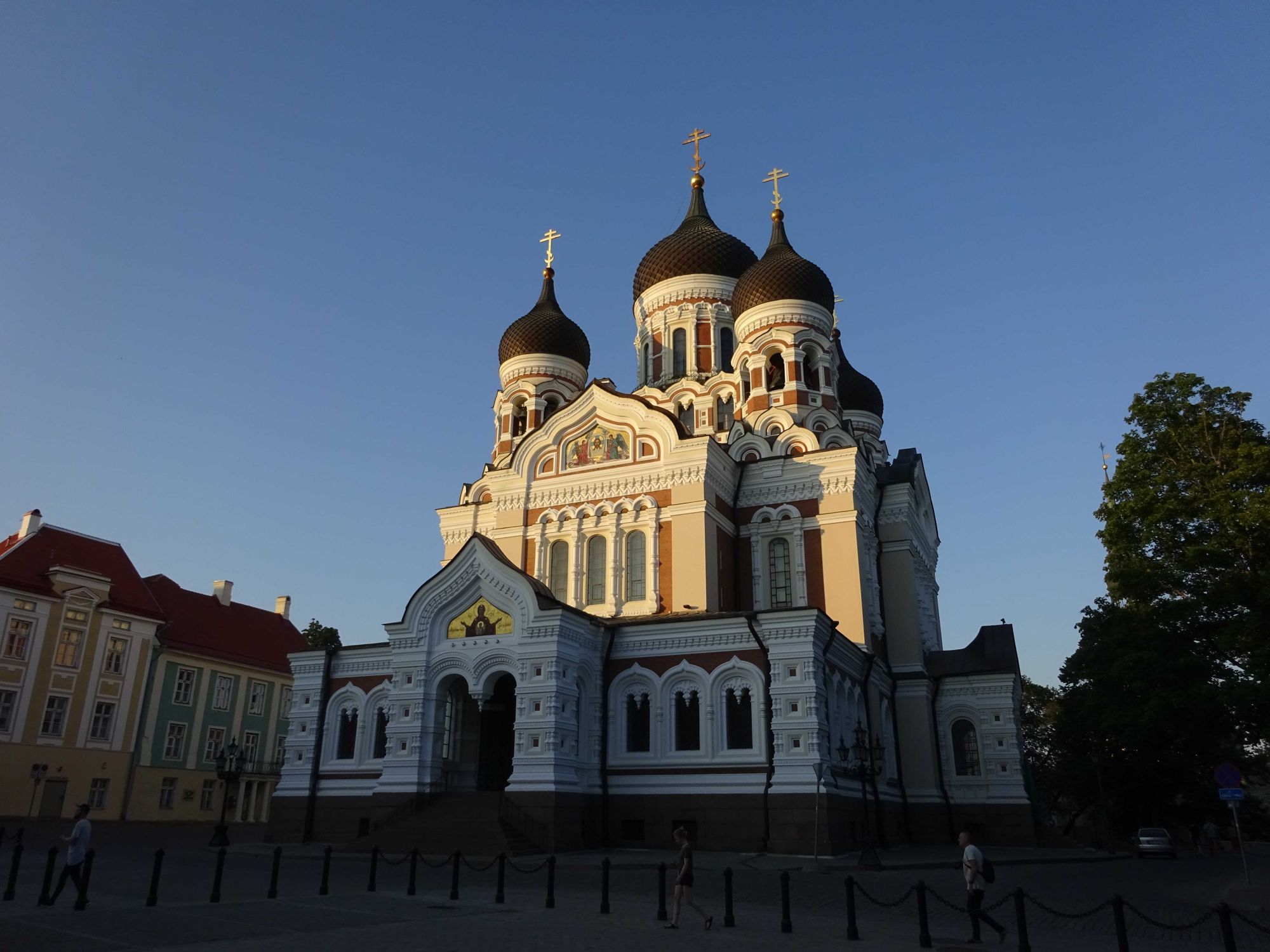
Tallinn |
|

|
|
|||||||||||||||||||||||
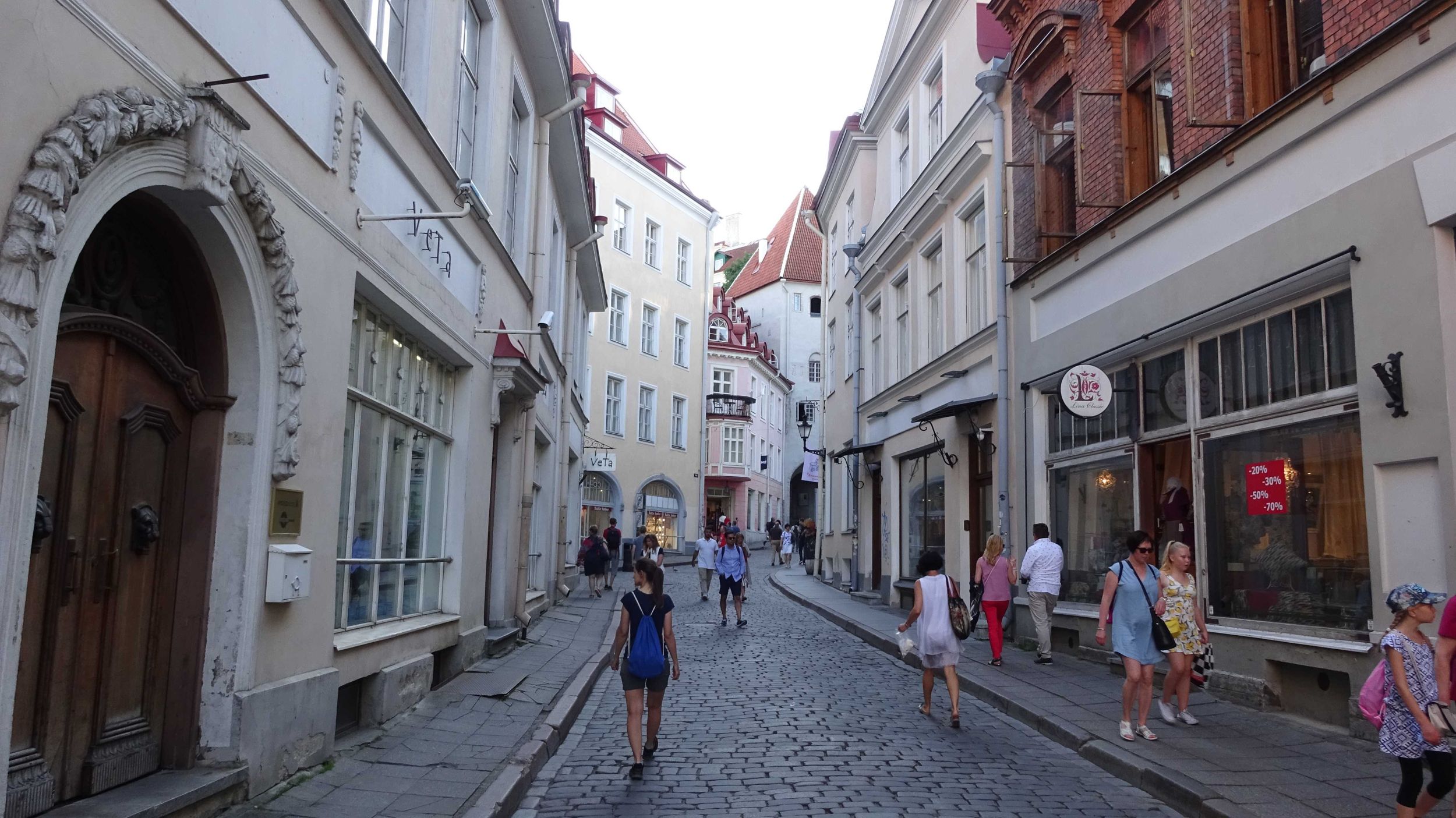
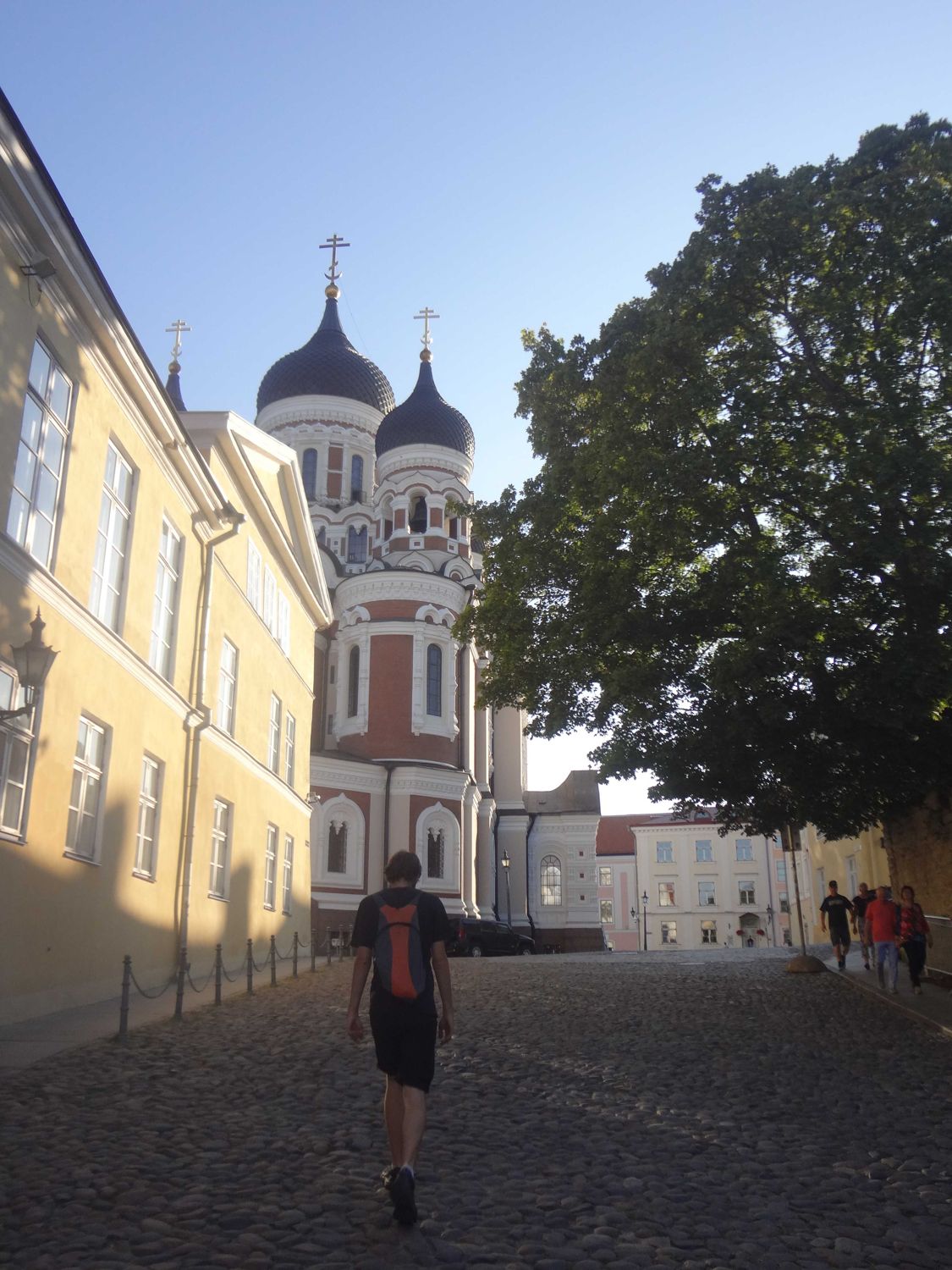
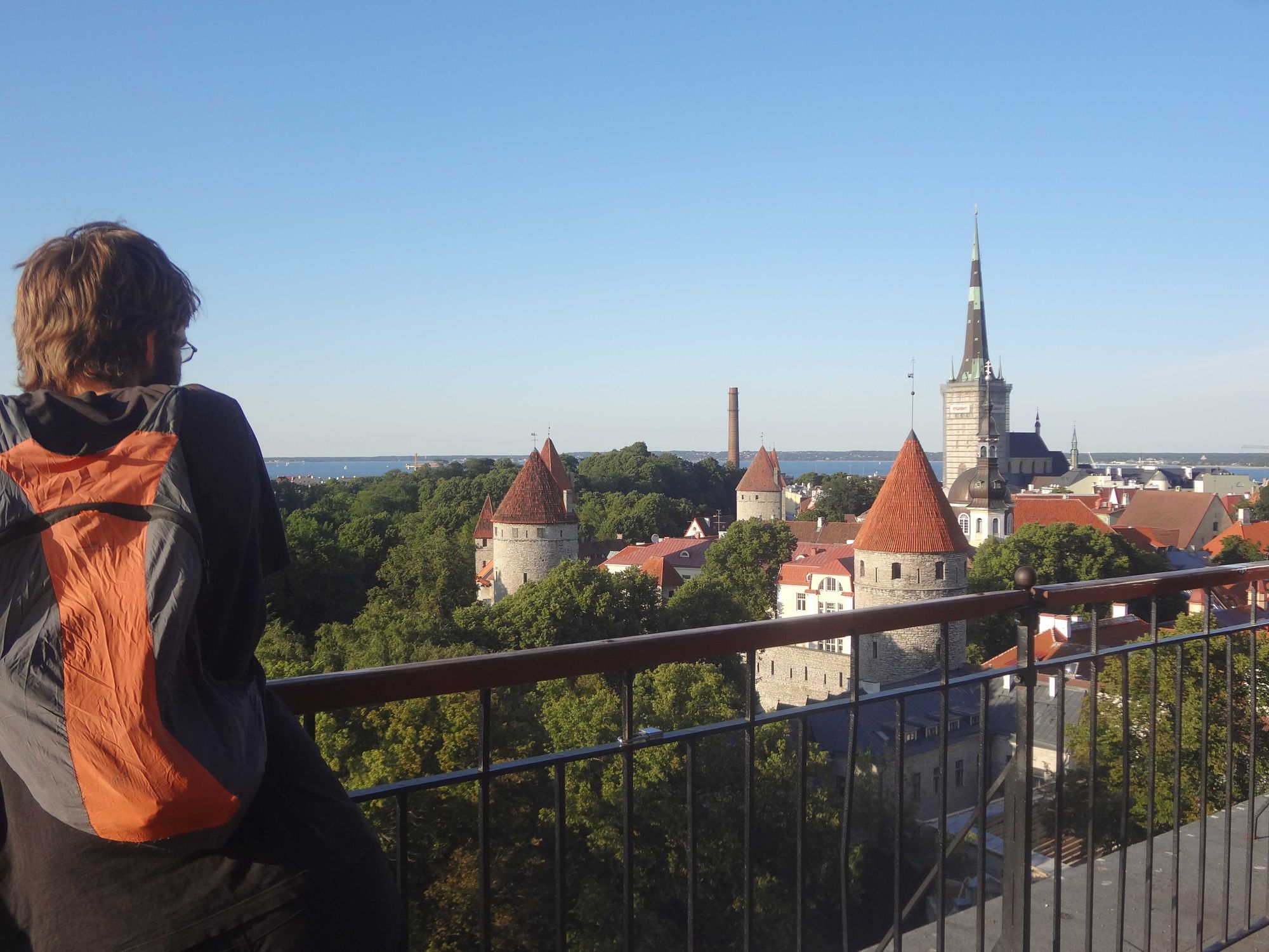
| 3 | Fri, 26.07.19 |
|
Tallinn |
|
|
|
|||||||||||||||||||||||
| 4 | Sat, 27.07.19 |
|
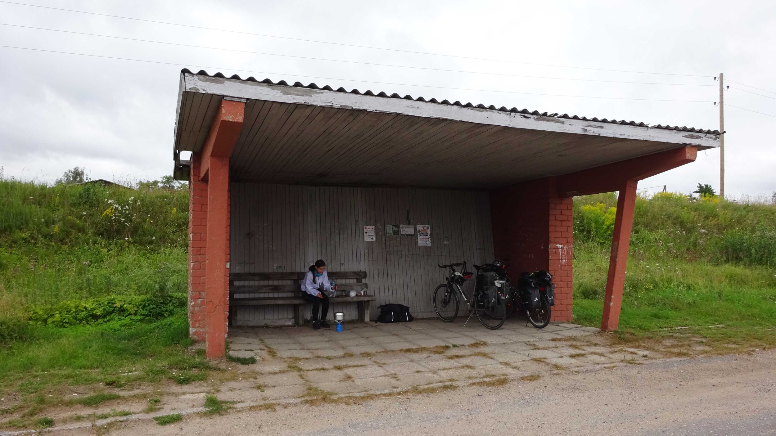
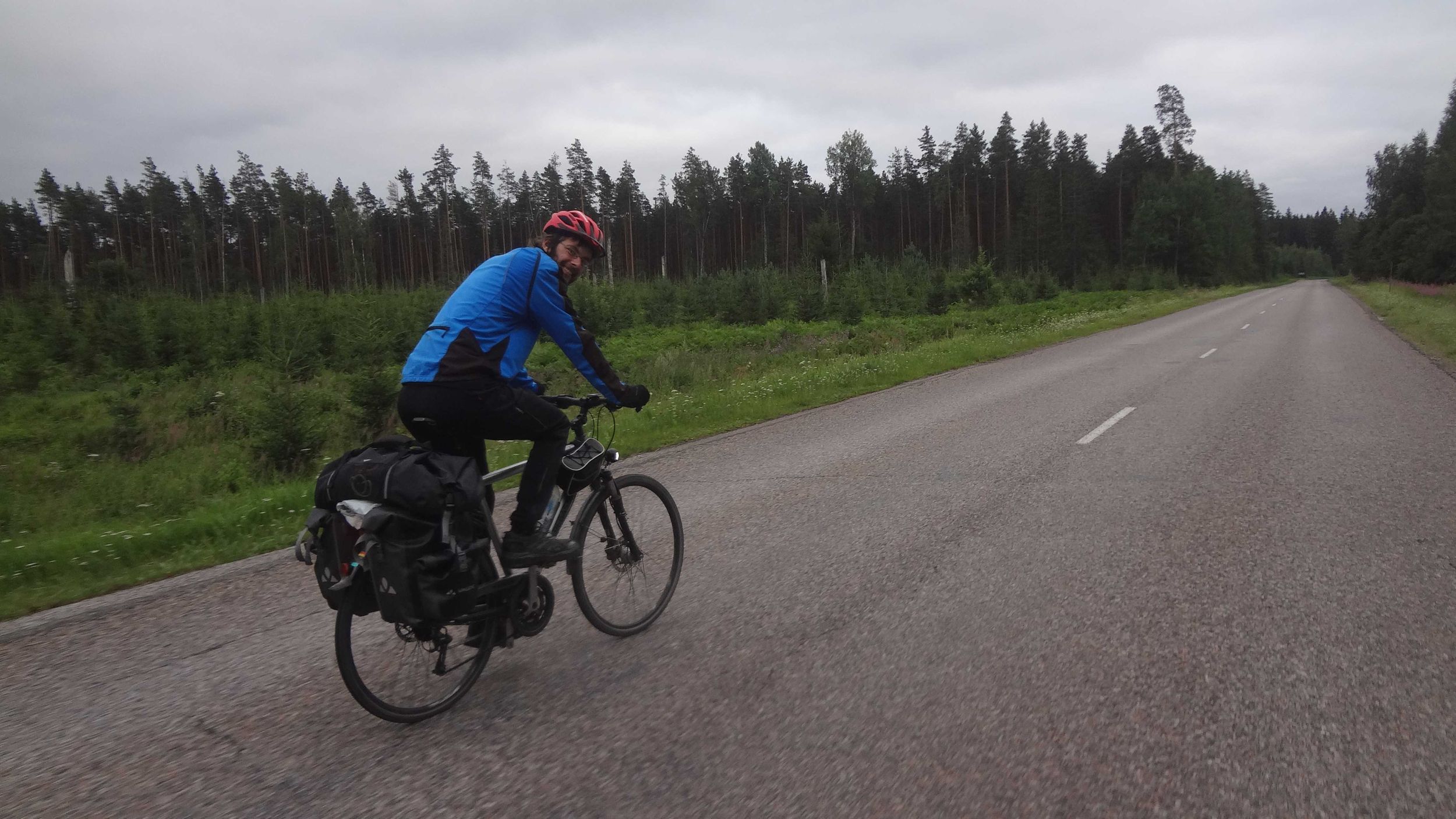
Tallinn | Riisipere | 81.80 km | 5:56 | 09:10 | 20:25 | 5:19 | (47 %) | 13.8 km/h | 27 % | 24 m | 66 m | 209 m | 185 m | 1 km | 2 km |
|

|

|
||||||||
| 5 | Sun, 28.07.19 |
|
Riisipere | Pärnjoe | 78.35 km | 6:03 | 09:02 | 18:55 | 3:50 | (39 %) | 13.0 km/h | 48 % | 32 m | 58 m | 192 m | 214 m | 3 km | 2 km | 
|
|
|
||||||||
| 6 | Mon, 29.07.19 |
|
Pärnjoe | Surju | 67.09 km | 5:39 | 09:08 | 19:44 | 4:57 | (47 %) | 11.9 km/h | 92 % | 21 m | 43 m | 112 m | 124 m | 1 km | 1 km |
|
|

|
||||||||
| 7 | Tue, 30.07.19 |
|
Surju | Treimani | 59.85 km | 4:12 | 09:15 | 16:24 | 2:57 | (41 %) | 14.3 km/h | 5 % | 5 m | 50 m | 140 m | 149 m | 1 km | 1 km | 
|
|
|
||||||||
| 8 | Wed, 31.07.19 | 
|
Treimani | Rozula | 90.96 km | 7:09 | 09:17 | 20:43 | 4:17 | (37 %) | 12.7 km/h | 33 % | 3 m | 95 m | 288 m | 235 m | 5 km | 4 km | 
|
|
|
||||||||
| 9 | Thu, 01.08.19 |
|
Rozula | Sigulda | 62.33 km | 6:01 | 10:03 | 19:13 | 3:09 | (34 %) | 10.3 km/h | 72 % | 16 m | 92 m | 327 m | 375 m | 8 km | 11 km |
|
|
|
||||||||
| 10 | Fri, 02.08.19 |
|
Sigulda | Riga | 54.79 km | 4:27 | 09:21 | 15:26 | 1:38 | (27 %) | 12.3 km/h | 33 % | 2 m | 53 m | 170 m | 184 m | 5 km | 3 km |
|
|
|
||||||||
| 11 | Sat, 03.08.19 |
|
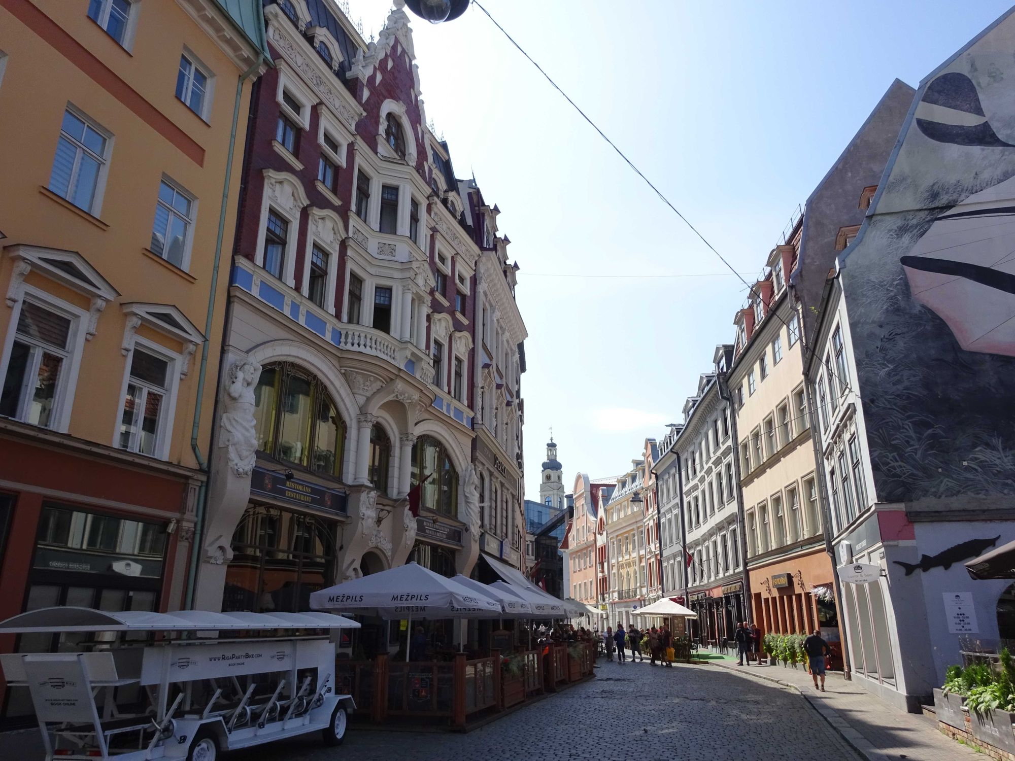
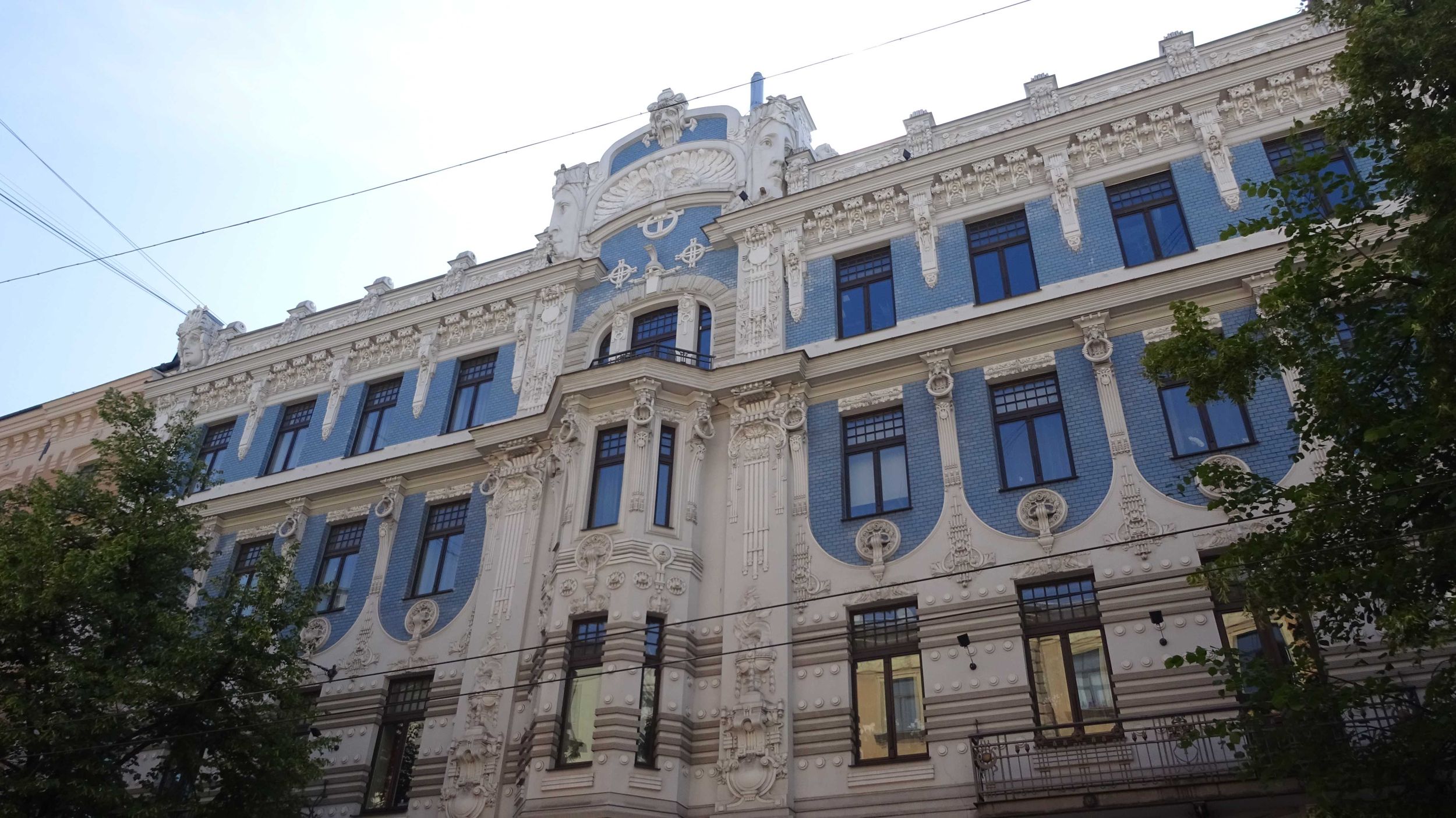
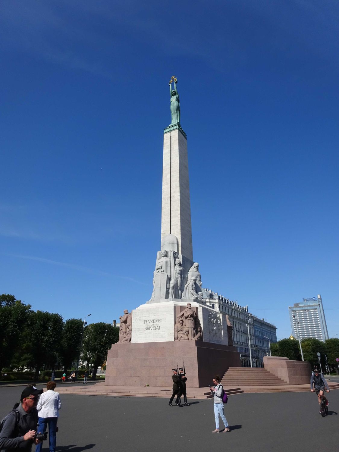
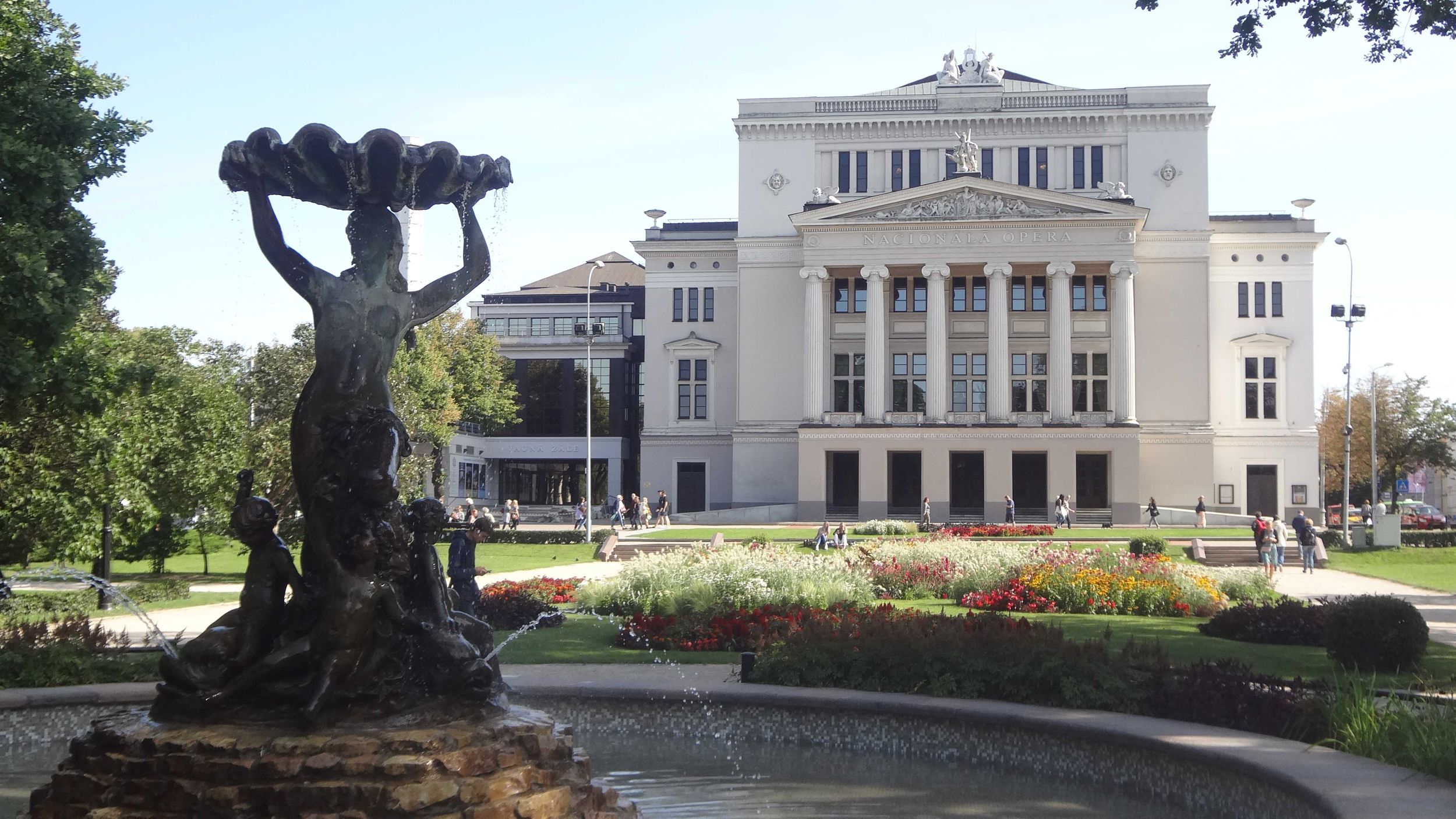
Riga |
|
|
|
|||||||||||||||||||||||
| 12 | Sun, 04.08.19 |
|
Riga | Mezotne | 80.20 km | 5:49 | 08:31 | 16:27 | 2:07 | (27 %) | 13.8 km/h | 13 % | 1 m | 31 m | 211 m | 211 m | 2 km | 3 km | 
|
|
|
||||||||
| 13 | Mon, 05.08.19 | 
|
Mezotne | Beinoraiciai | 65.18 km | 5:60 | 09:30 | 20:54 | 5:24 | (47 %) | 10.9 km/h | 43 % | 17 m | 82 m | 125 m | 63 m | 0 km | 0 km |
|
|

|
||||||||
| 14 | Tue, 06.08.19 |
|
Beinoraiciai | Uzventis | 74.53 km | 6:18 | 09:05 | 19:53 | 4:30 | (42 %) | 11.8 km/h | 8 % | 80 m | 156 m | 249 m | 224 m | 5 km | 3 km | 
|
|
|
||||||||
| 15 | Wed, 07.08.19 |
|
Uzventis | Stemples | 79.86 km | 6:38 | 08:58 | 18:56 | 3:20 | (34 %) | 12.1 km/h | 25 % | 58 m | 189 m | 286 m | 334 m | 5 km | 6 km |
|
|
|
||||||||
| 16 | Thu, 08.08.19 |
|
Stemples | Uostadvaris | 56.91 km | 5:32 | 08:40 | 18:56 | 4:44 | (46 %) | 10.3 km/h | 25 % | -4 m | 60 m | 74 m | 137 m | 1 km | 2 km | 
|
|
|
||||||||
| 17 | Fri, 09.08.19 |
|
Uostadvaris | Pervalka | 41.19 km | 3:35 | 07:41 | 20:01 | 8:45 | (71 %) | 11.5 km/h | 6 % | -3 m | 39 m | 100 m | 98 m | 1 km | 1 km | 
|
|
|
||||||||
| 18 | Sat, 10.08.19 |
|
Pervalka | Sventoji | 68.20 km | 5:03 | 09:55 | 19:55 | 4:57 | (50 %) | 13.5 km/h | 1 % | -2 m | 31 m | 139 m | 127 m | 1 km | 2 km |
|
|
|
||||||||
| 19 | Sun, 11.08.19 | 
|
Sventoji | Skatre | 50.86 km | 3:39 | 09:38 | 15:12 | 1:55 | (34 %) | 13.9 km/h | 0 % | -1 m | 21 m | 85 m | 97 m | 0 km | 1 km |
|
|
|
||||||||
| 20 | Mon, 12.08.19 |
|
Skatre | Liepaja | 8.27 km | 0:33 | 11:25 | 13:05 | 1:07 | (67 %) | 14.9 km/h | 0 % | 2 m | 6 m | 6 m | 7 m | 0 km | 0 km |
|
|
|
||||||||
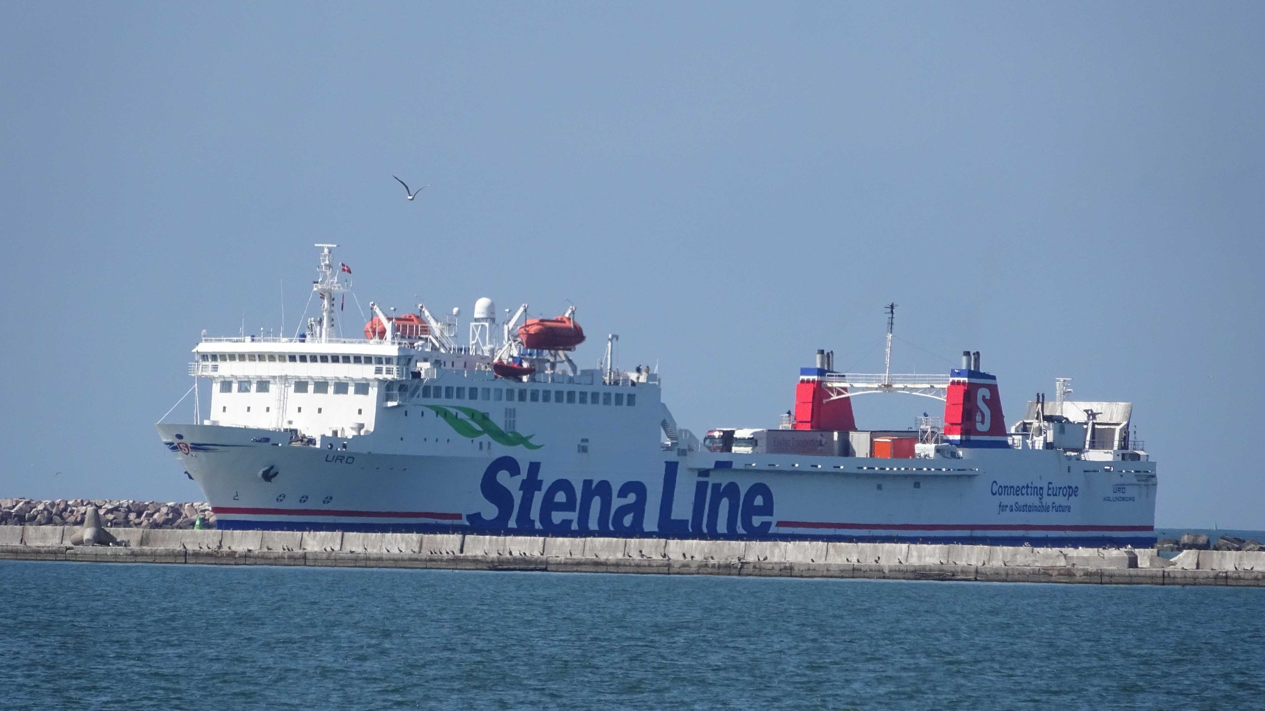
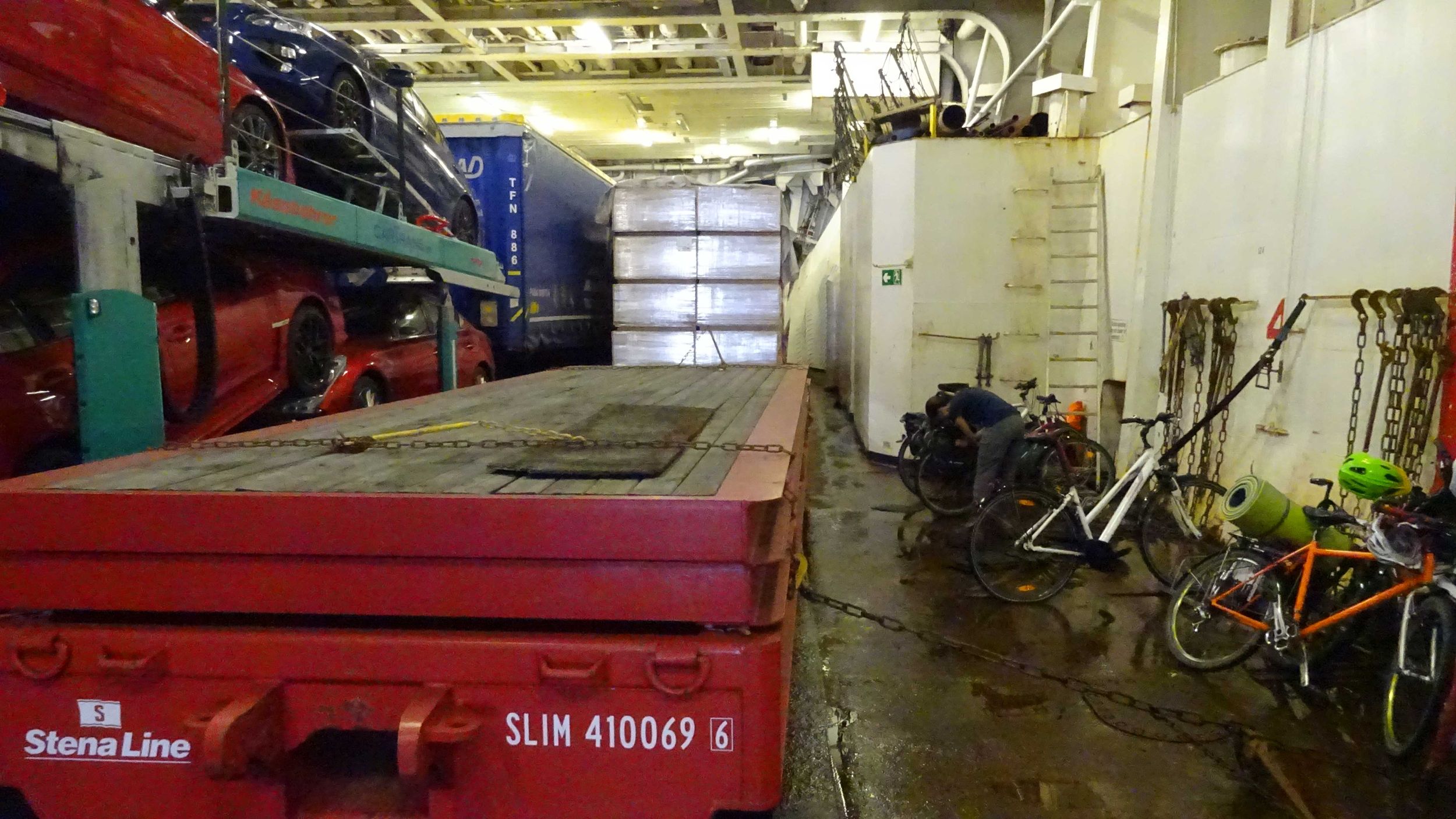
| 21 | Tue, 13.08.19 | 
|
Fährfahrt Liepaja–Travemünde |
|
|
|
|||||||||||||||||||||||
| 22 | Wed, 14.08.19 | 
|
Heimreise Travemünde–Kücknitz |
|
|
|
|||||||||||||||||||||||
| 23 | Thu, 15.08.19 |
|
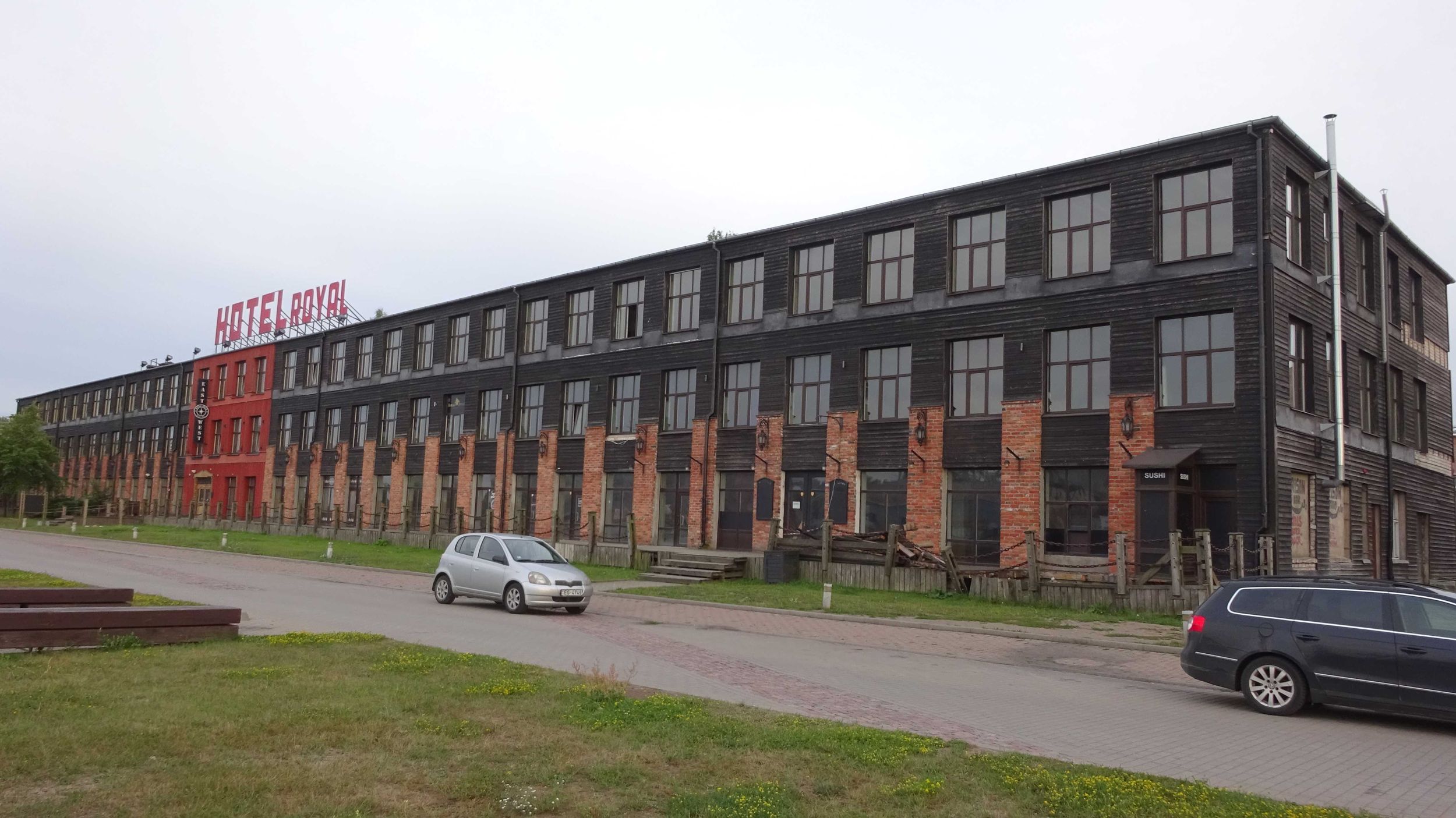
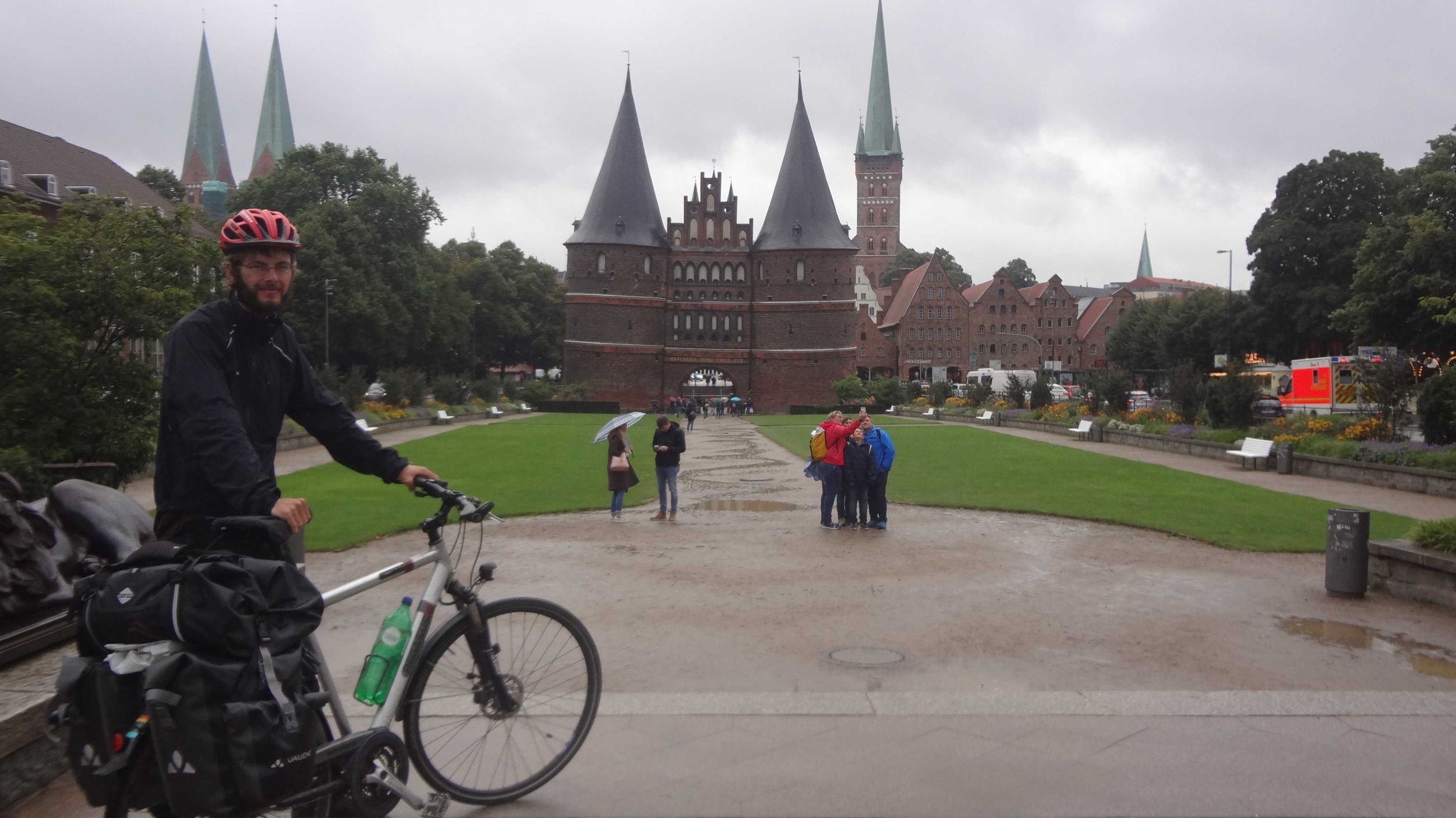
Heimreise Kücknitz–Karlsruhe | 
|
|
|
|||||||||||||||||||||||
| Day | date | Country | Place of Departure | Place of Arrival | Distance | Riding Time |
Departure | Arrival | Break Time |
Ø Speed | Unpaved Roads |
Altitude | Slope | Weather | Reports/ Map/Images |
||||||||||||||
| Min | Max | Ascent | Descent | > 2 % | < −2 % | ||||||||||||||||||||||||
Belinda
Tizian

all Zweiradler Tours • About Us • Support • Contact • Legal Notices
For the licensing of the content of this website and the privacy policy see the legal notices. © 2022 Belinda Benz & Tizian Römer.


